Updates
Image Source: kallerna/Wikipedia.com
/ˌəp-ˈdāt/
“current information for updating something” (Merriam-Webster.com, July 2026)
The following are periodic significant updates to the “Plantation” Atlas. Below are state-by-state statuses of the comprehensive, Redacted Heritage Audits (TM) of each state’s former “plantations,” i.e., forced-labor camps. This project is a continual work in progress. Therefore, statuses are either:
“Substantially Complete,” meaning enough data has been collected to move on to other states, or
“Incomplete,” meaning there is a substantial amount of data missing, or “null” data fields.
“Null,” represented by the white push pin on the map and in the Atlas tables and filters, indicates that the data analyst has not obtained data for that “plantation” site.
-
Tues., Oct. 20, 2026
Total Number of “Plantations” in the Atlas: 1,707
States added to the Atlas: California, Kansas, Michigan, Minnesota, Oregon, Washington, Wisconsin
Total Number of U.S. states: 36
-
Thurs., Aug. 5, 2026
Total Number of “Plantations” in the Atlas: 1,400
State added to the Atlas: Vermont, with 5 “plantations”
Total Number of U.S. states: 29
Thurs., Aug. 23, 2026
Total Number of “Plantations” in the Atlas: 1,575
Total Number of U.S. states: 29
-
Thurs., July 3, 2026
Number of states in the atlas: 28
Number of “plantations”: 1,296
Special for 4th of July Independence Day and USA 250:
Filter the Atlas to see the location of former forced labor camps established in 1776 and pre-1776. Send us a message to access the Atlas to explore this data metric in the Atlas.
Fri., July 17, 2026
After a one-week research trip to Montgomery, AL, and New Orleans, LA, added more “plantation” heritage sites to the Atlas, including the entire city of New Orleans and the city of Montgomery, AL. Research trip funded by a National Council for Preservation Education (NCPE) Early Career Faculty Research Grant.
Total Number of “Plantations” in the Atlas: 1,321
Sun., July 19, 2026
Total Number of “Plantations” in the Atlas: 1,330
-
Fri., June 19, 2026
Launch of the “Plantation” Atlas. Watch the recording: click here.
Number of states in the Atlas: 28
Comprehensive Redacted Heritage Audits:
Illinois
Arkansas
Substantially Complete Audits
-
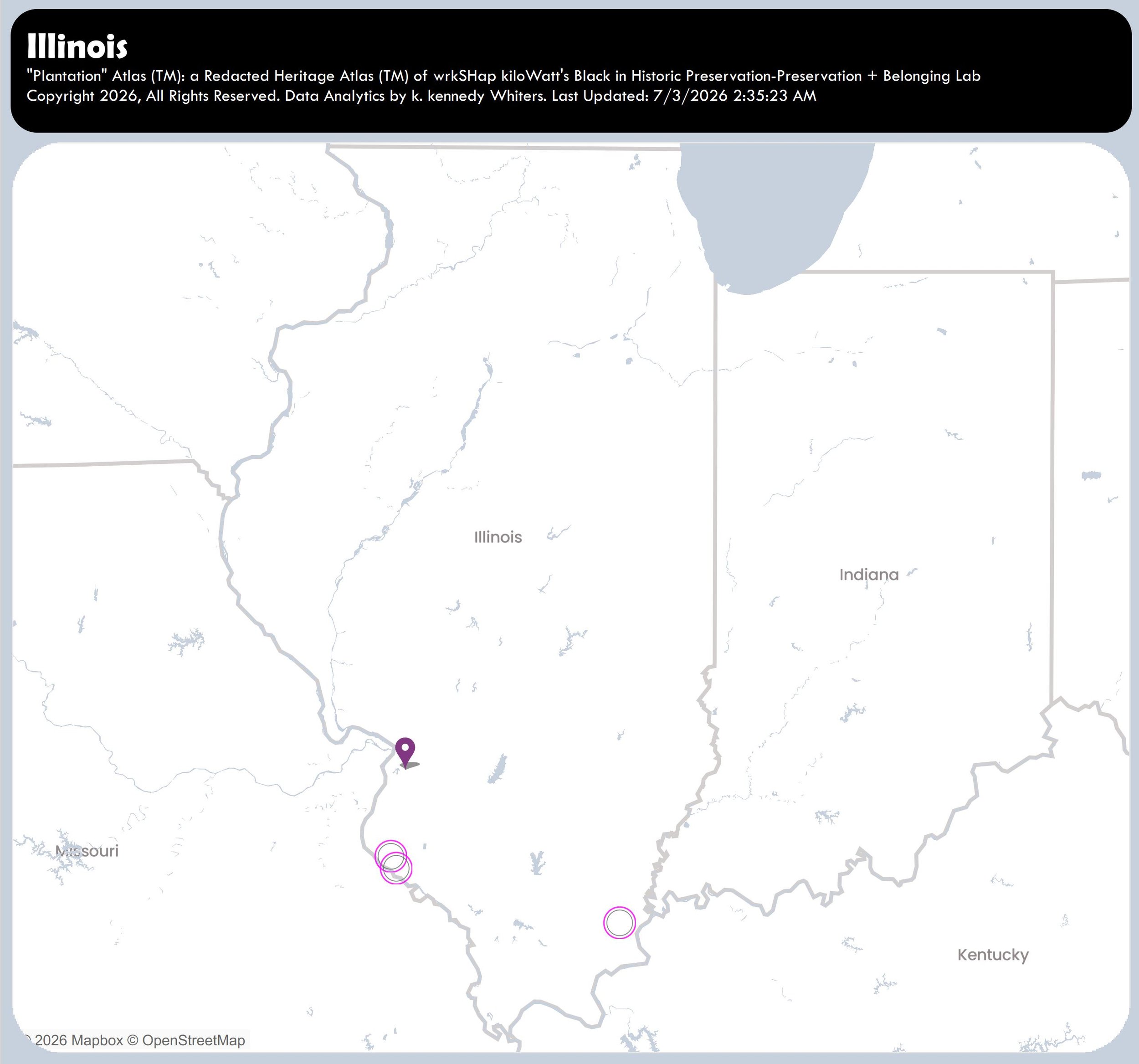
Illinois
June 19, 2026.
Substantially Complete.
Number of “Plantations”: 4
-
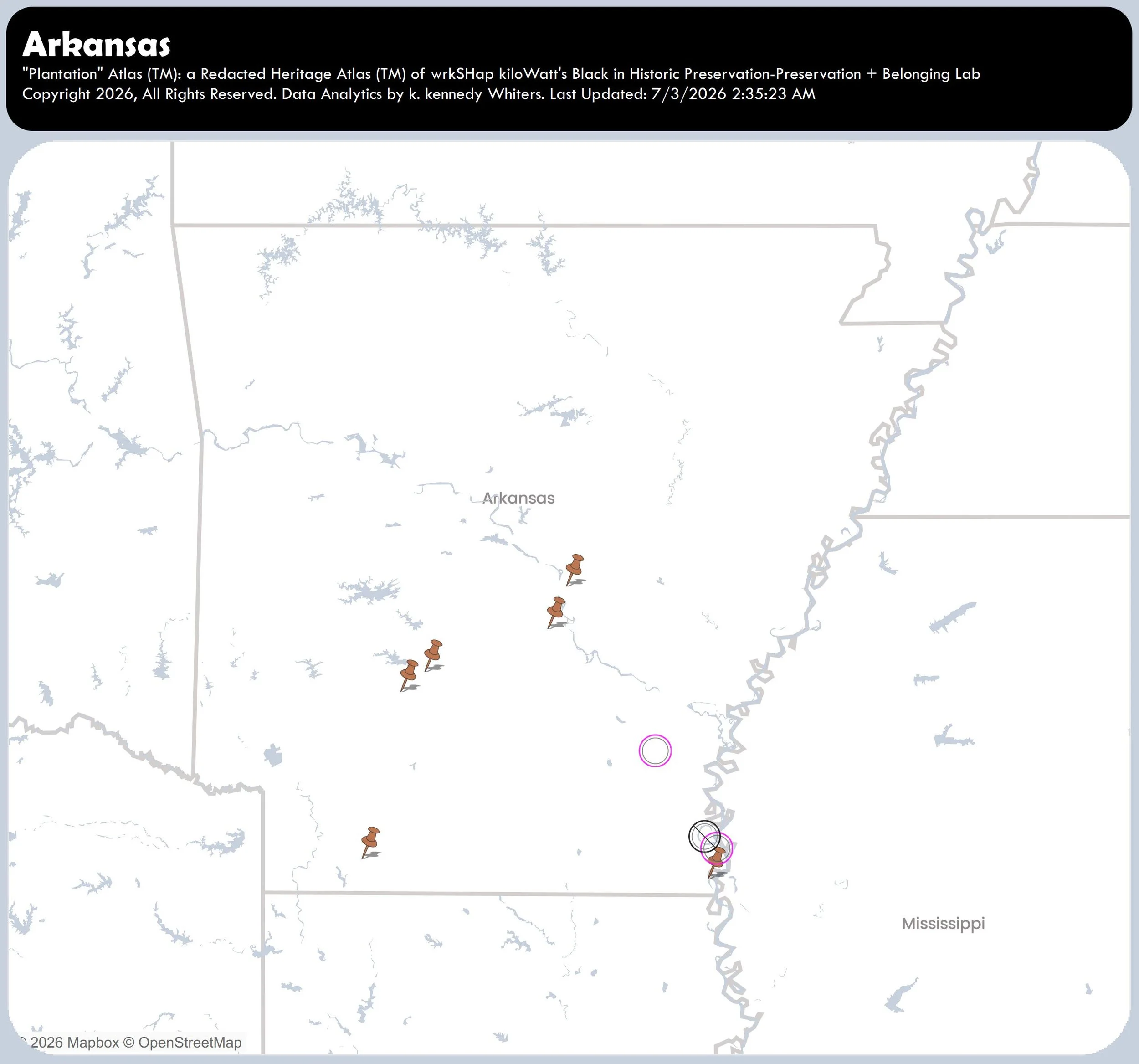
Arkansas
August 5, 2026.
Substantially Complete.
Number of “Plantations”= 14
Incomplete Audits
-
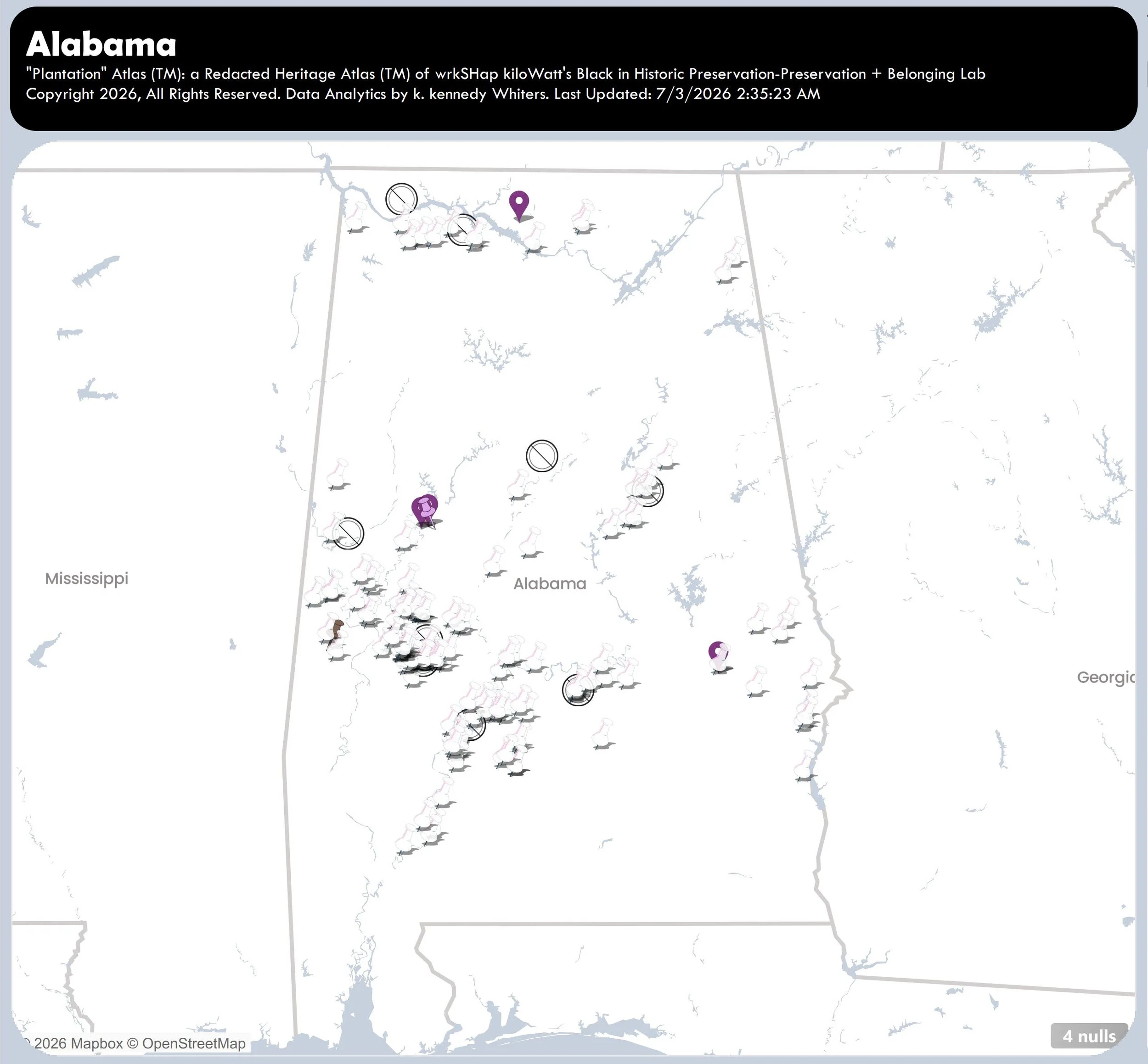
Alabama
August 5, 2026.
Incomplete.
Number of “Plantations” = 166
-
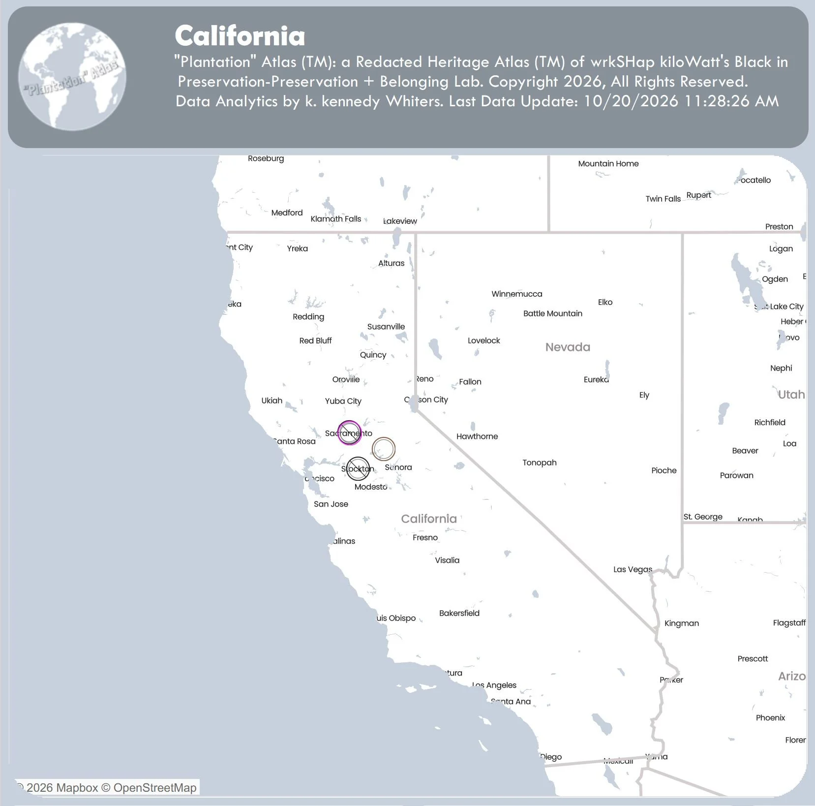
California
October 20, 2026.
Incomplete.
Number of “Plantations” = 1
-
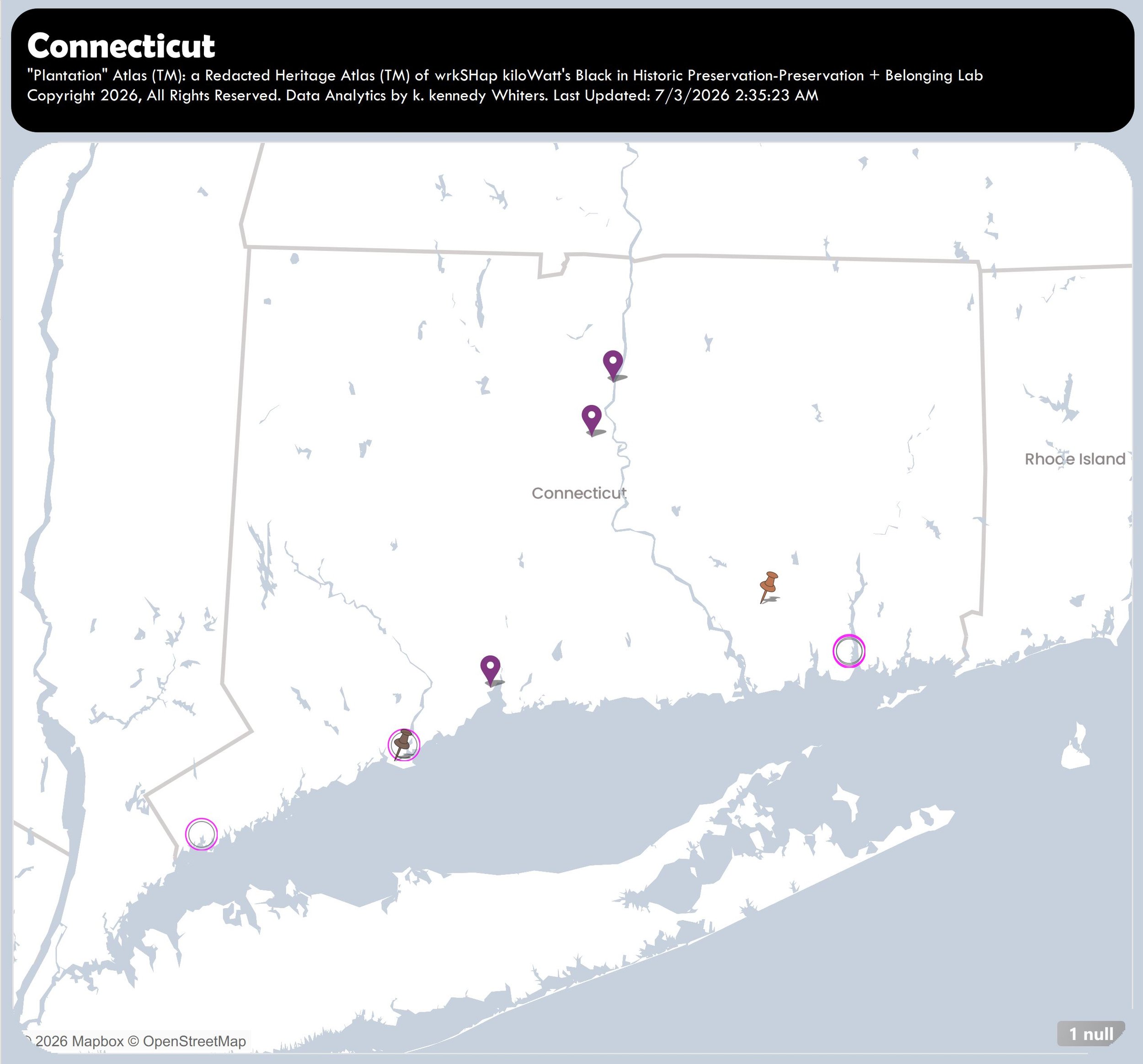
Connecticut
July 3, 2026.
Incomplete.
Number of “plantations” = 10
-
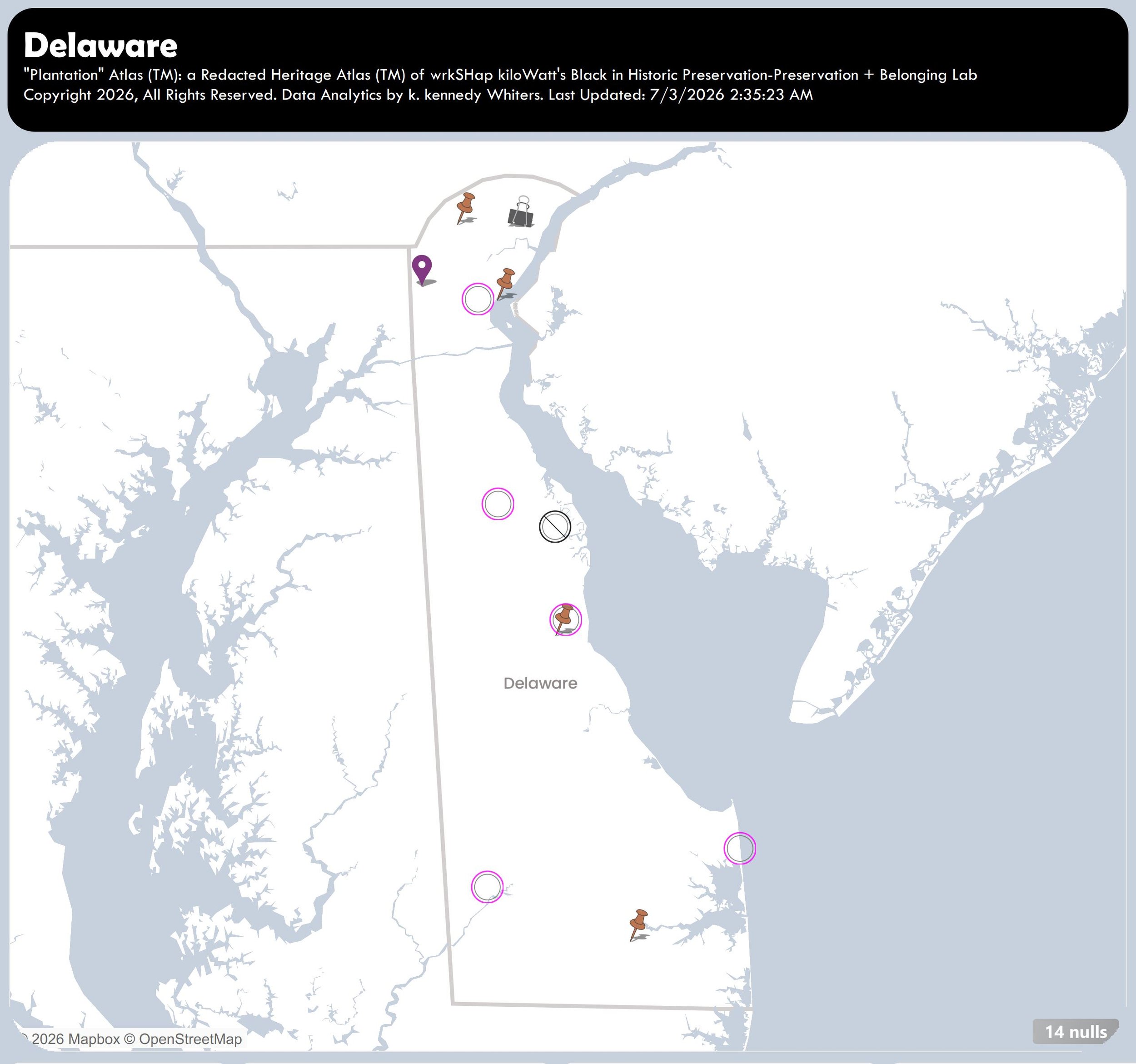
Delaware
July 3, 2026.
Incomplete.
Number of “Plantations” = 31
-
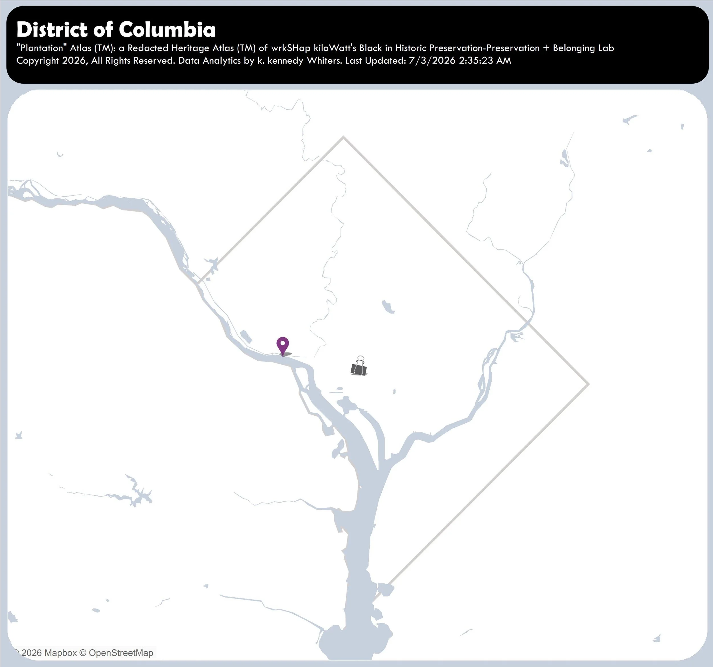
District of Columbia
July 3, 2026.
Incomplete.
Number of “Plantations” = 3
-
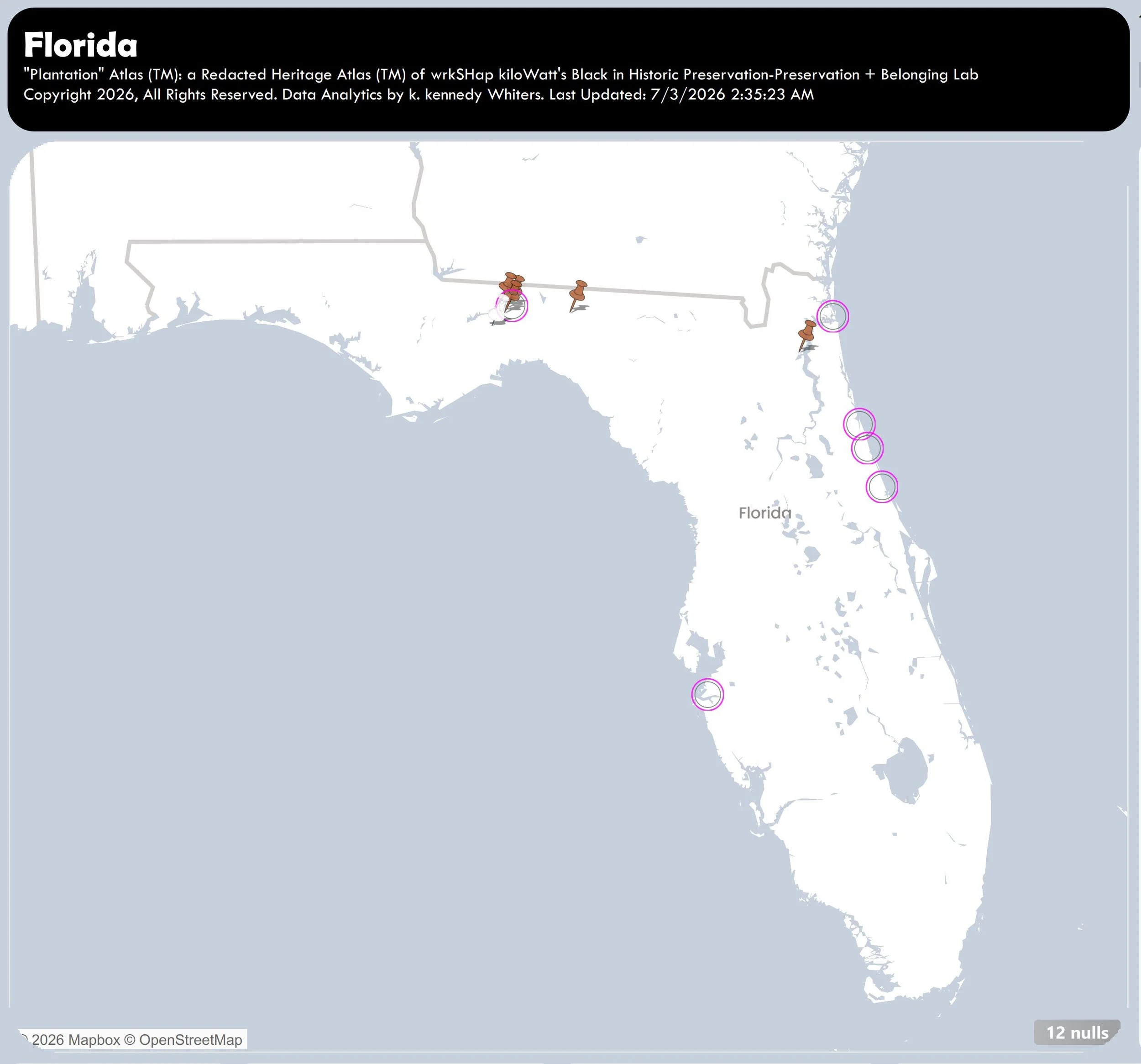
Florida
July 19, 2026.
Incomplete.
Number of “Plantations” = 27
-
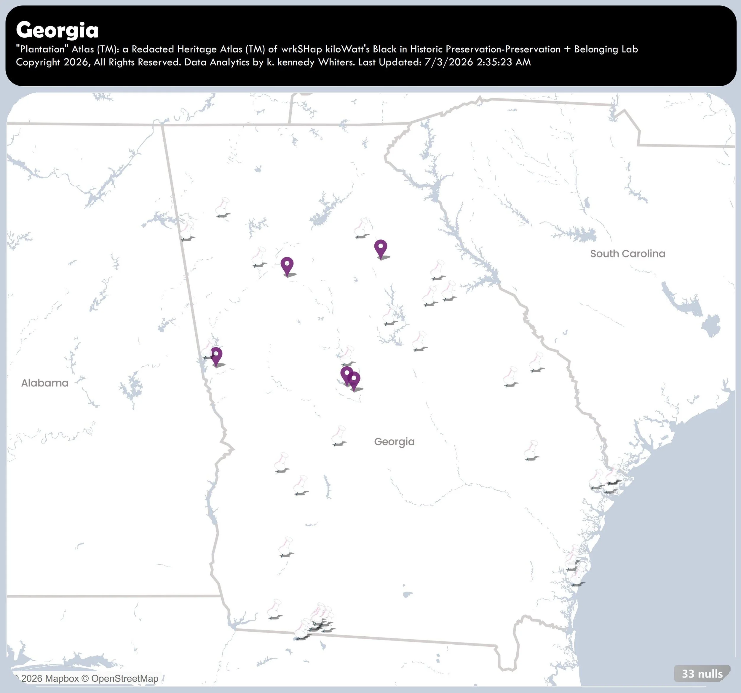
Georgia
August 5, 2026.
Incomplete.
Number of “Plantations” = 74
-
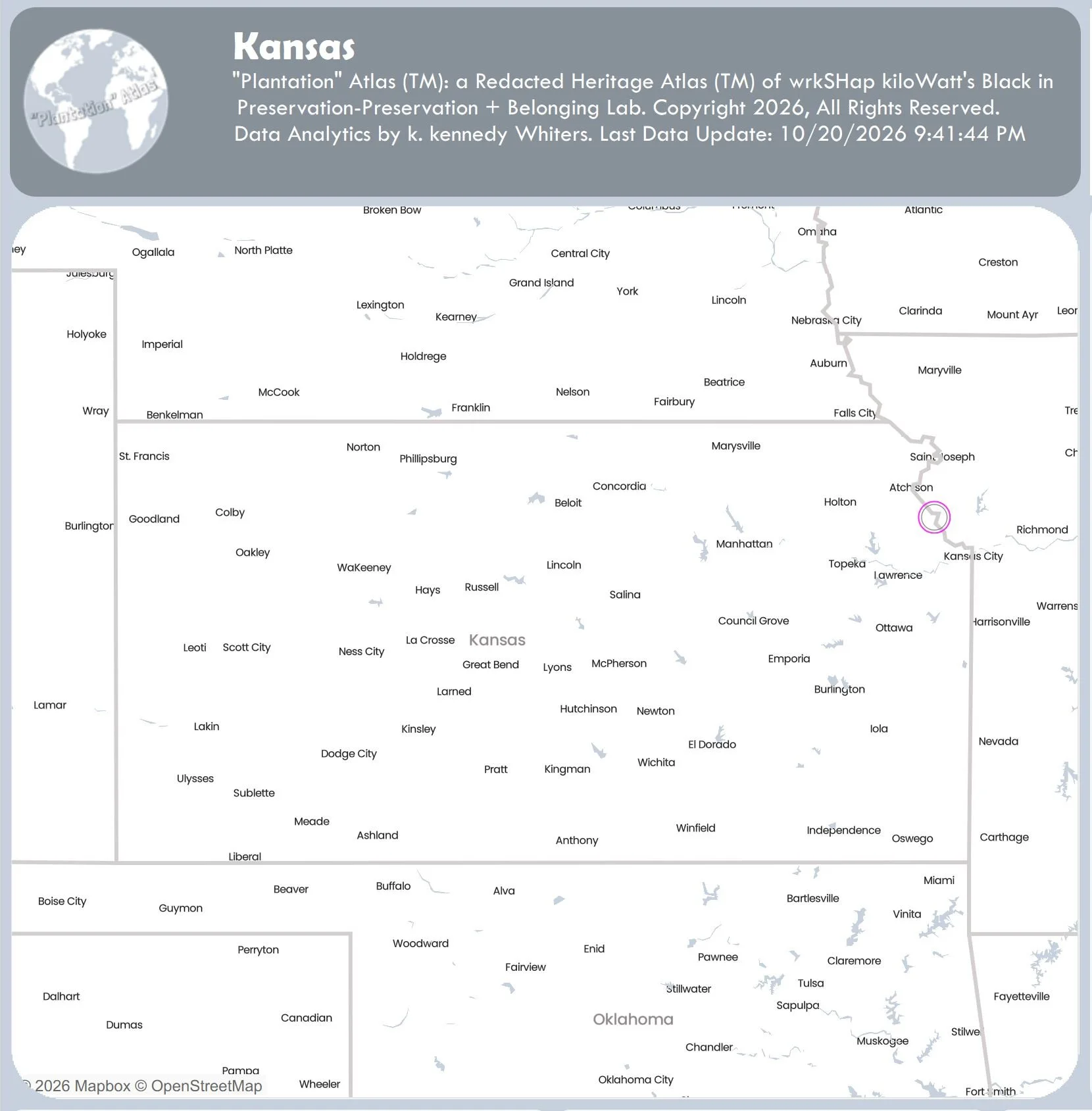
Kansas
October 20, 2026.
Incomplete.
Number of “plantations” = 1
-
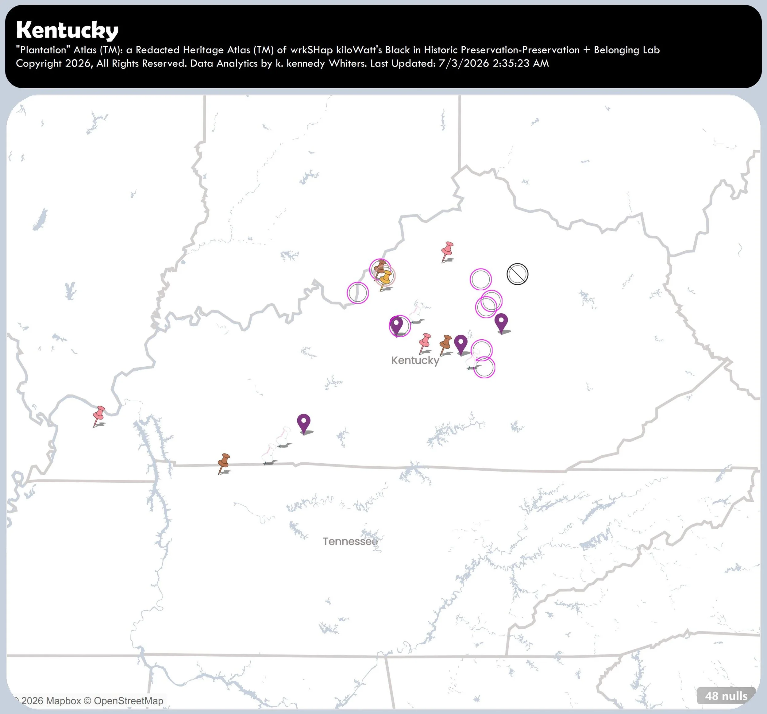
Kentucky
July 3, 2026.
Incomplete.
Number of “Plantations” = 74
-
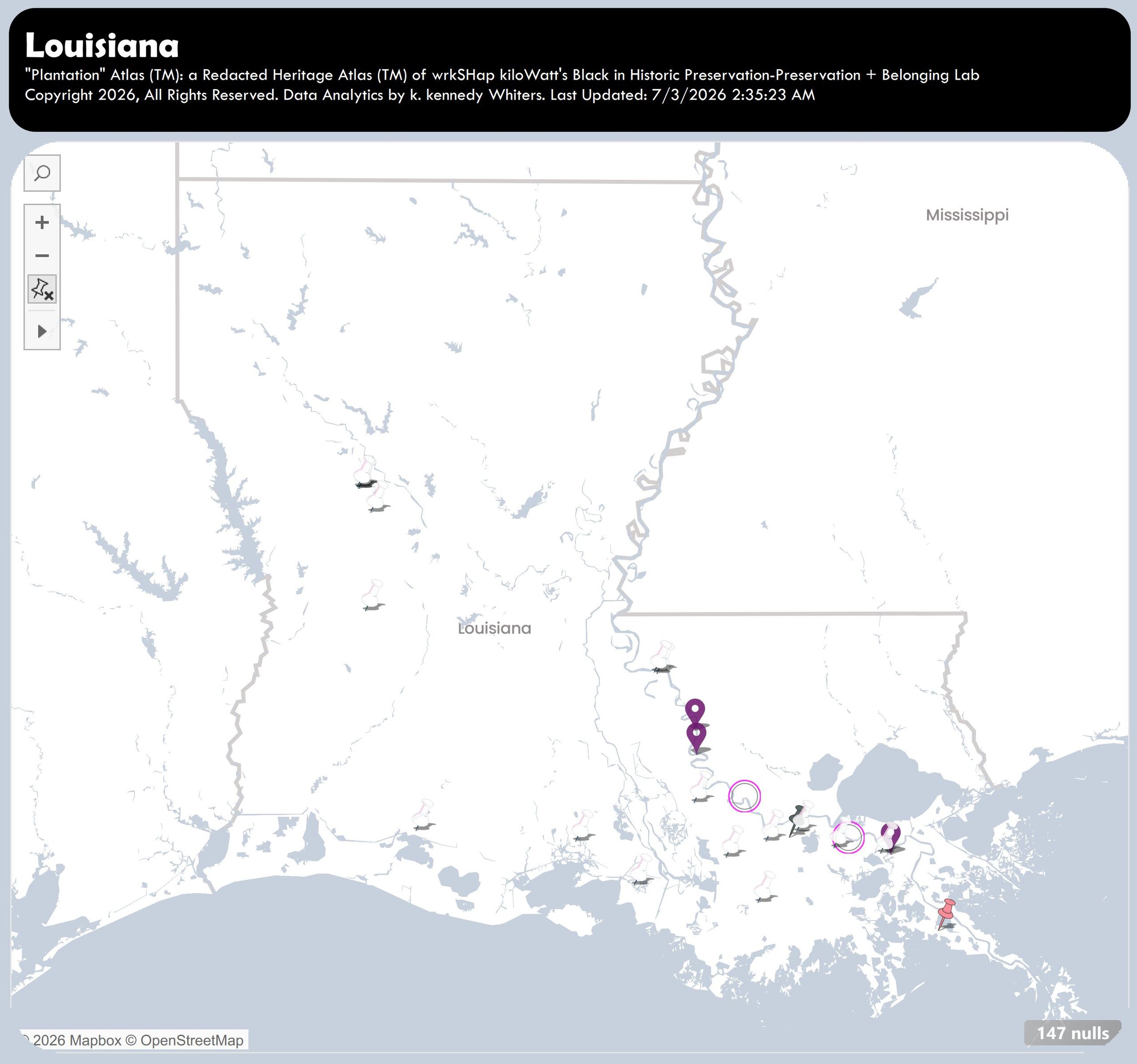
Louisiana
August 5, 2026.
Incomplete.
Number of “Plantations” = 197
-
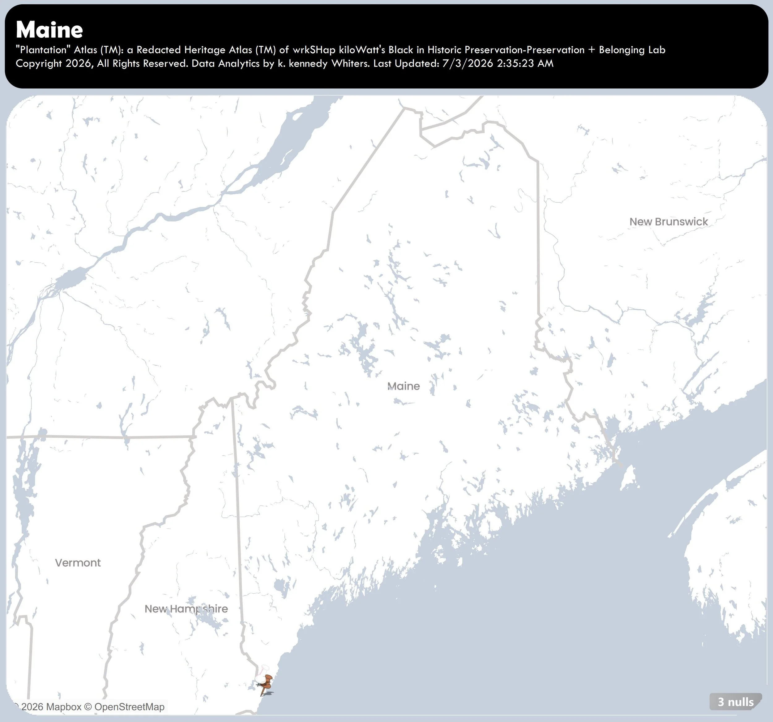
Maine
July 3, 2026.
Incomplete.
Number of “Plantations” = 5
-
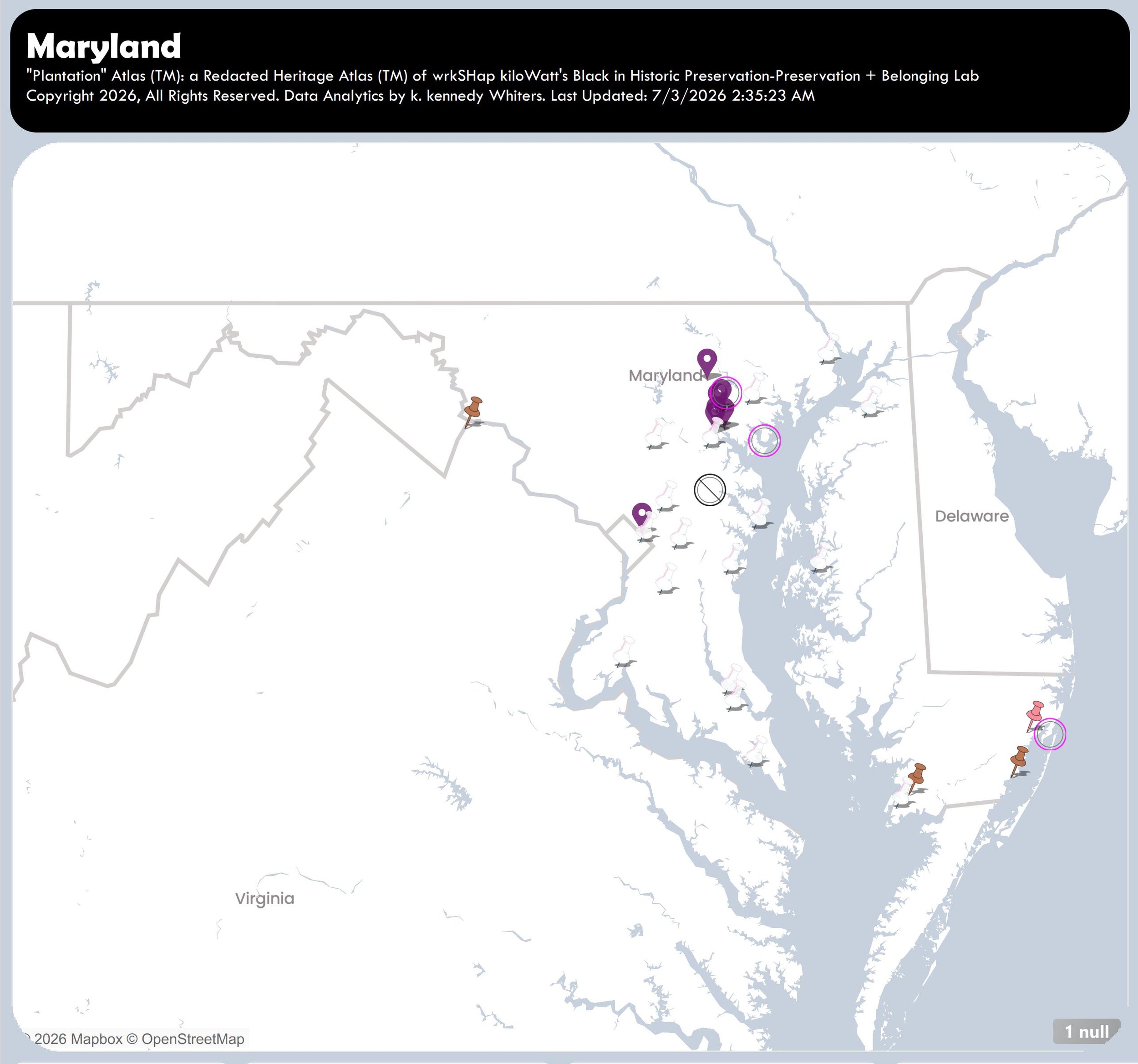
Maryland
July 3, 2026.
Incomplete.
Number of “Plantations” = 33
-
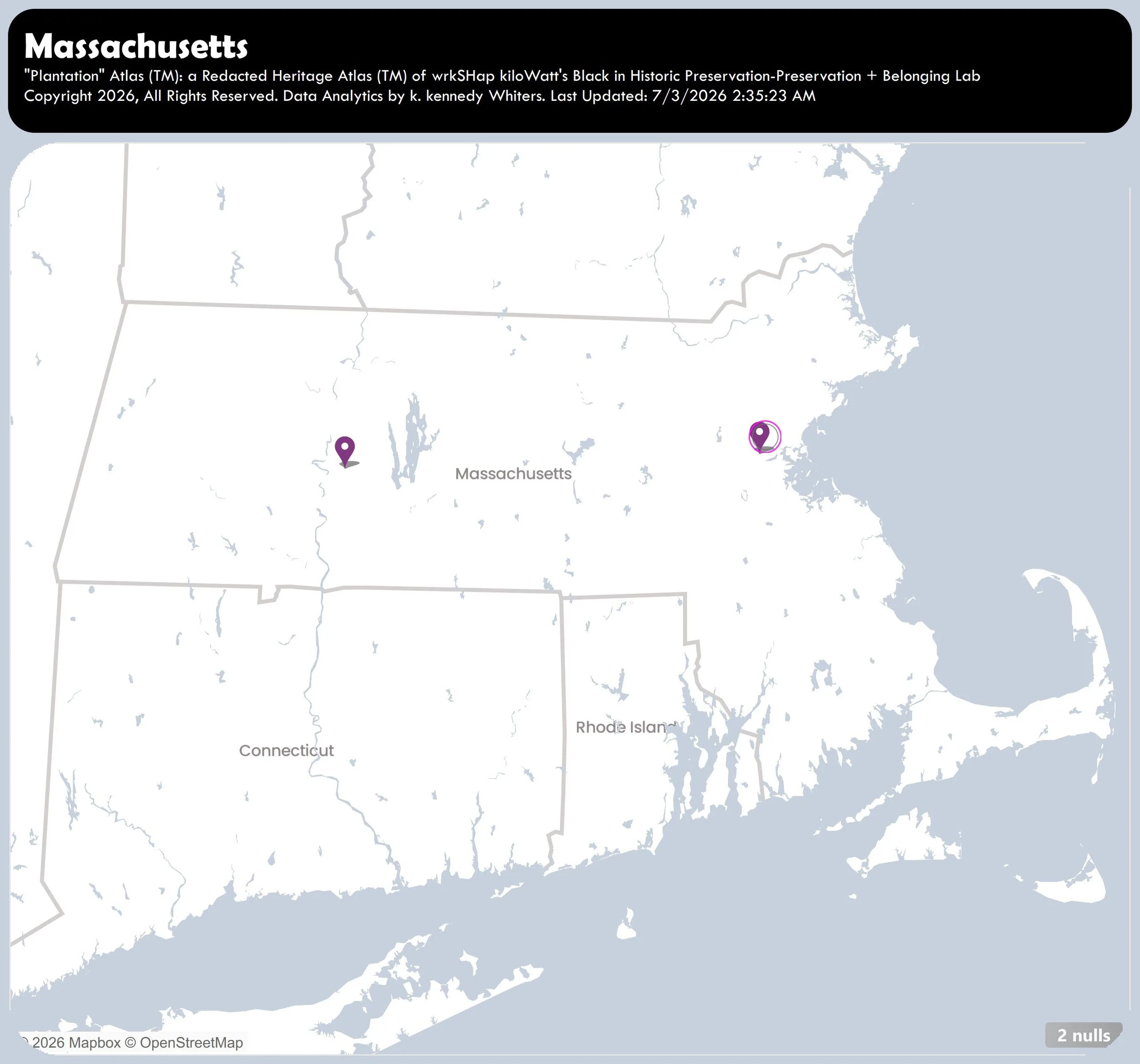
Massachusetts
July 3, 2026.
Incomplete.
Number of “Plantations” = 5
-
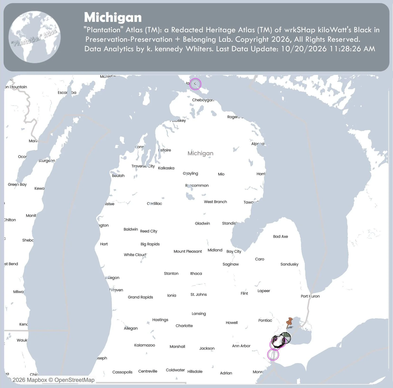
Michigan
October 20, 2026.
Incomplete.
Number of “Plantations” = 26
-
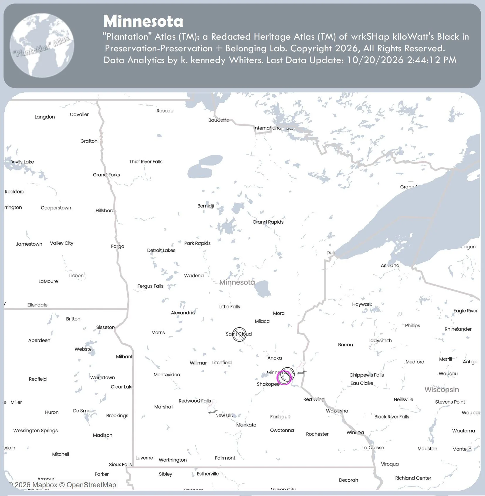
Minnesota
October 20, 2026.
Incomplete.
Number of “Plantations” = 6
-
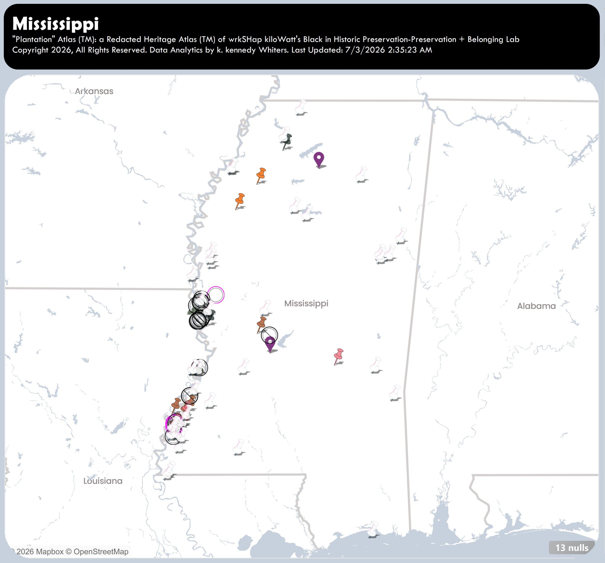
Mississippi
August 5, 2026.
Incomplete.
Number of “Plantations” = 93
-
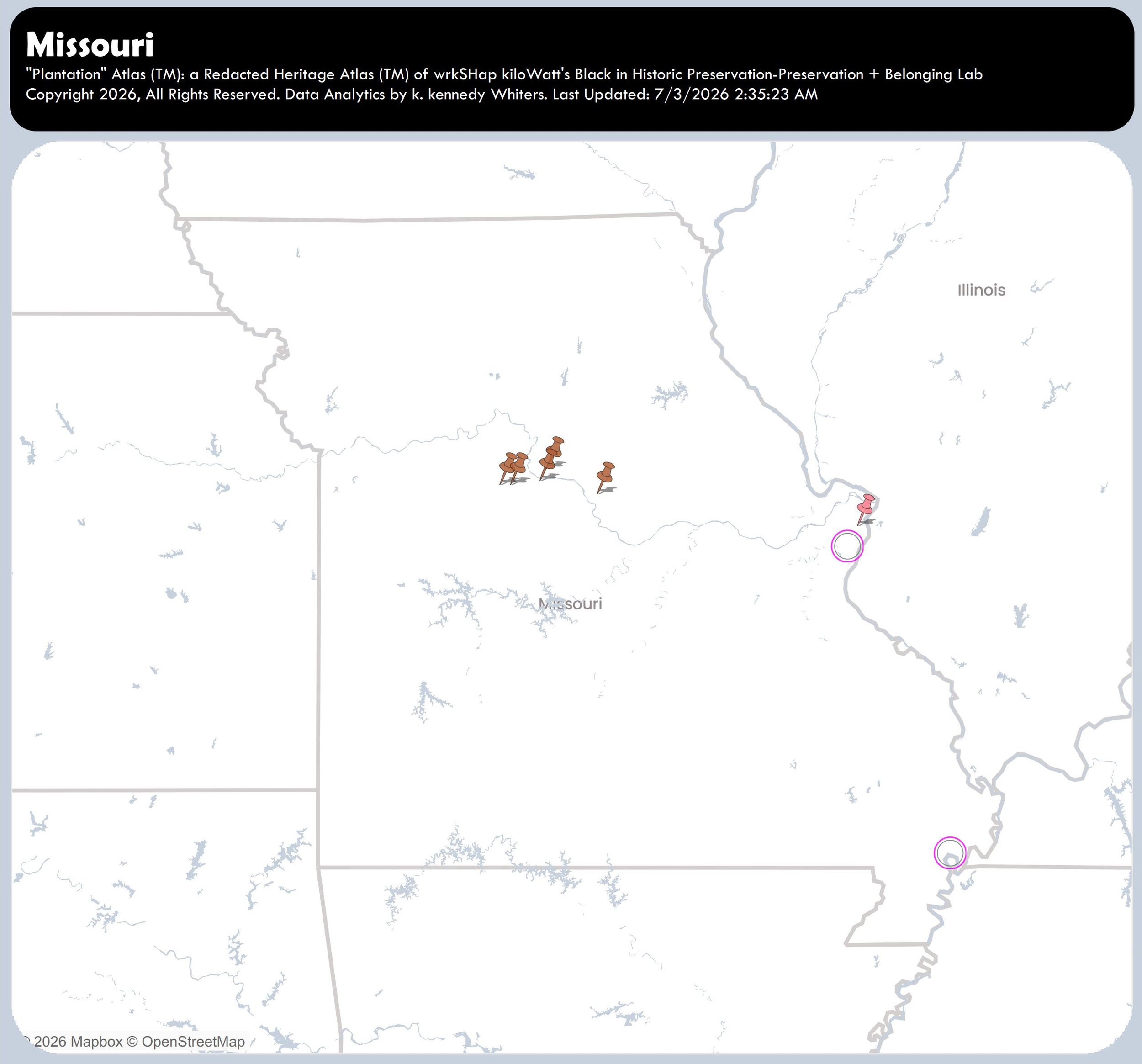
Missouri
July 3, 2026.
Incomplete.
Number of “Plantations” = 8
-
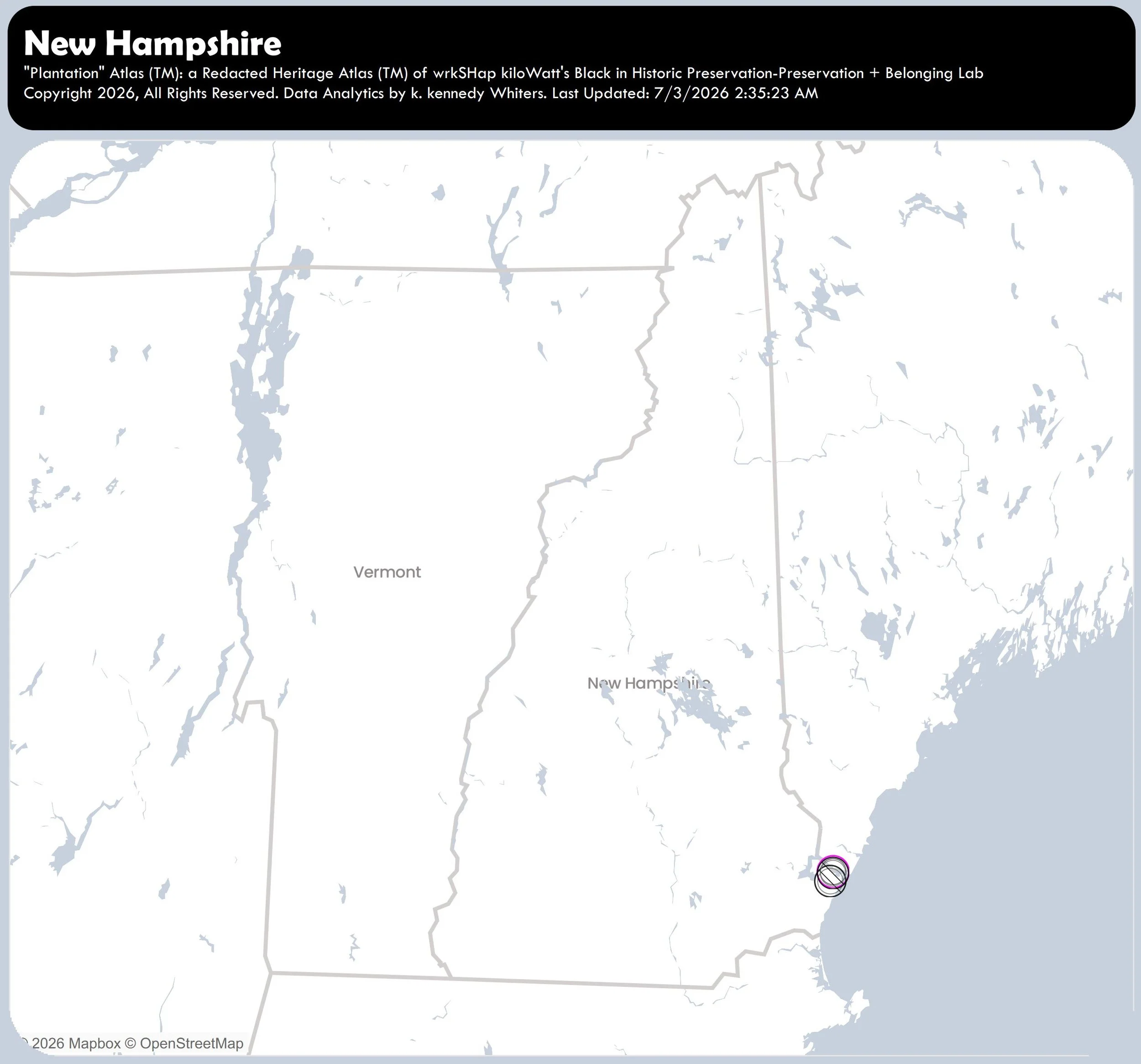
New Hampshire
July 3, 2026.
Incomplete.
Number of “Plantations” = 4
-
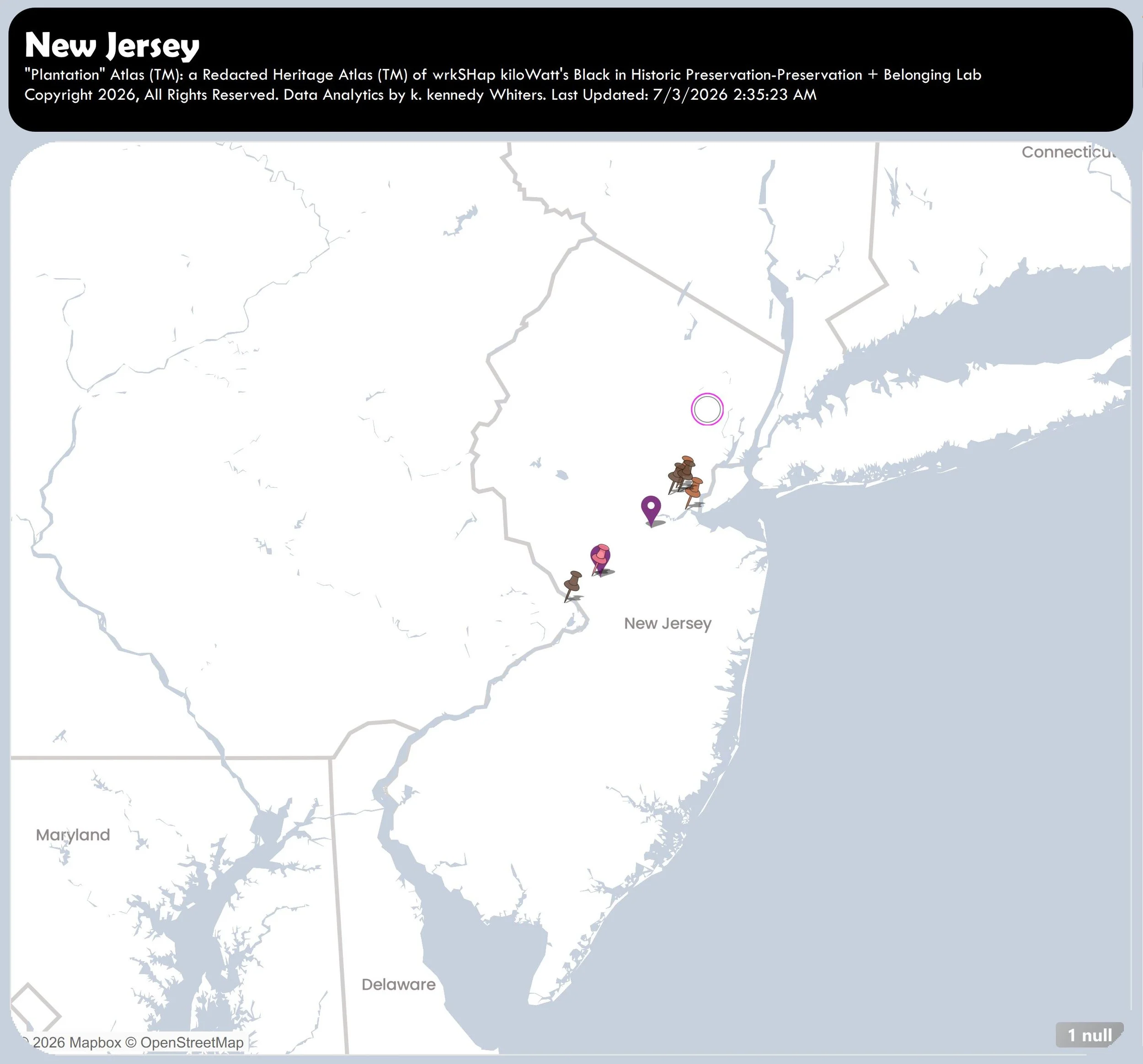
New Jersey
July 3, 2026.
Incomplete.
Number of “Plantations” = 10
-
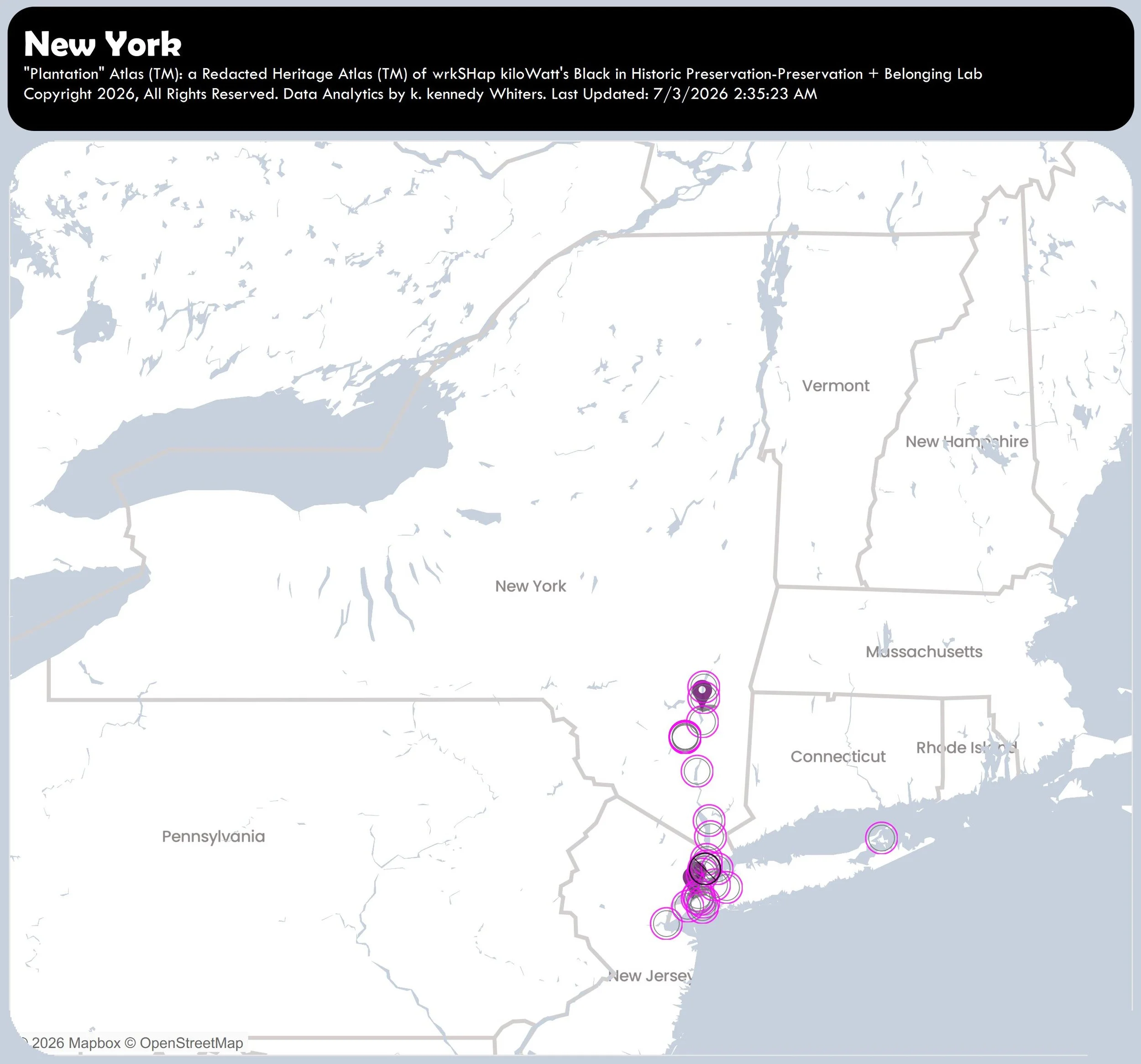
New York
July 3, 2026.
Incomplete.
Number of “Plantations” = 32
-
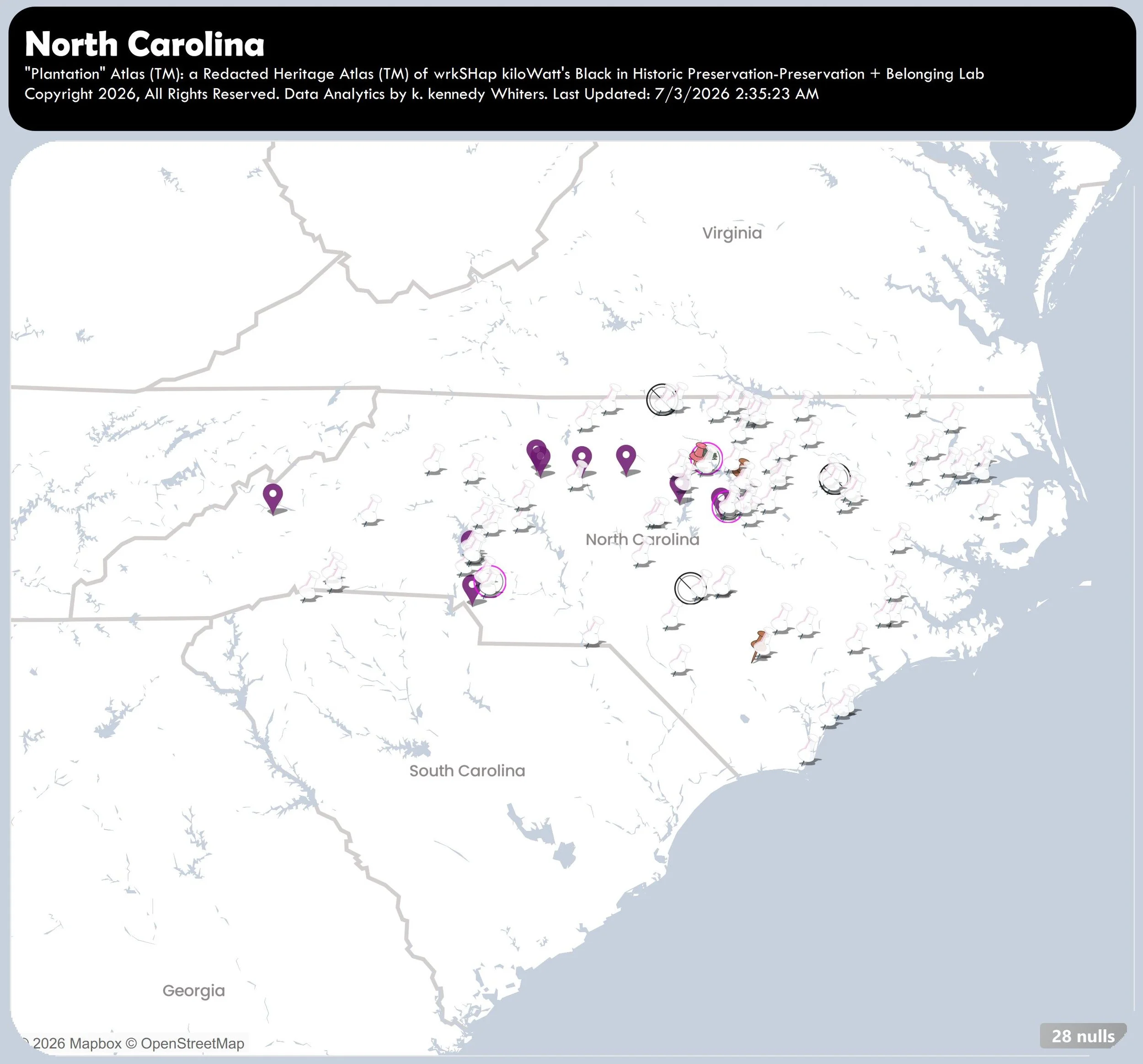
North Carolina
August 5, 2026.
Incomplete.
Number of “Plantations” = 137
-
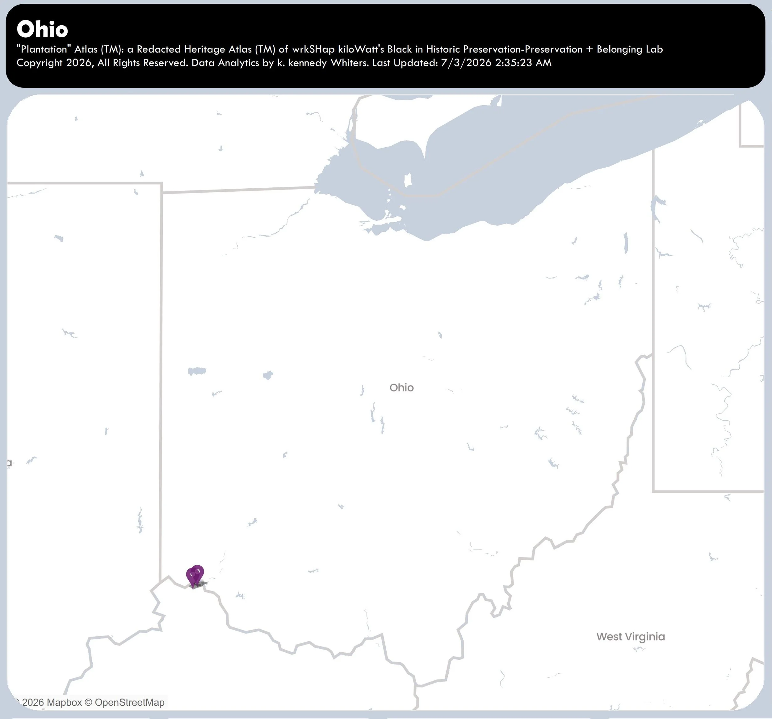
Ohio
3July2026.
Incomplete.
Number of “Plantations” = 2
-
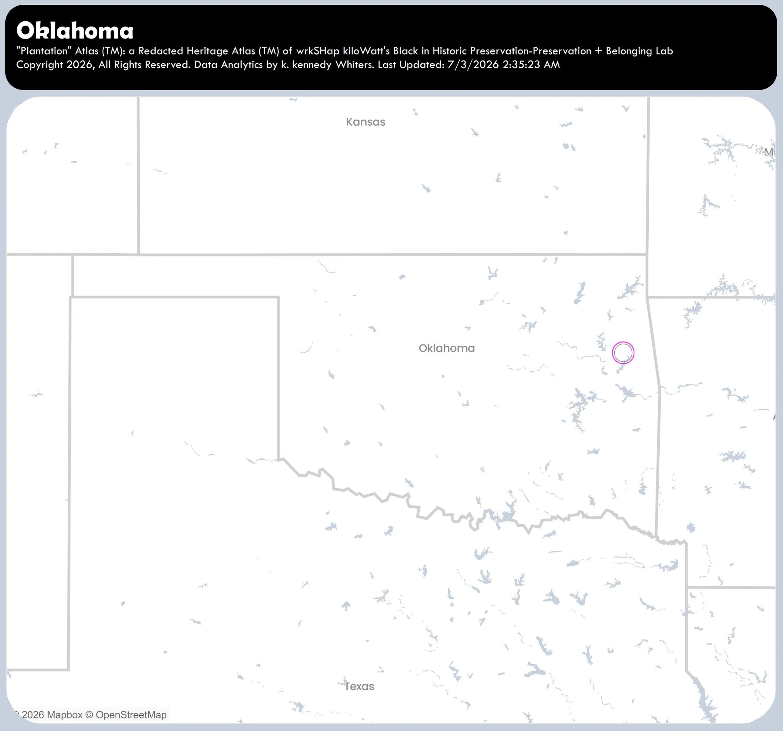
Oklahoma
3July2026.
Incomplete.
Number of “Plantations” = 1
-
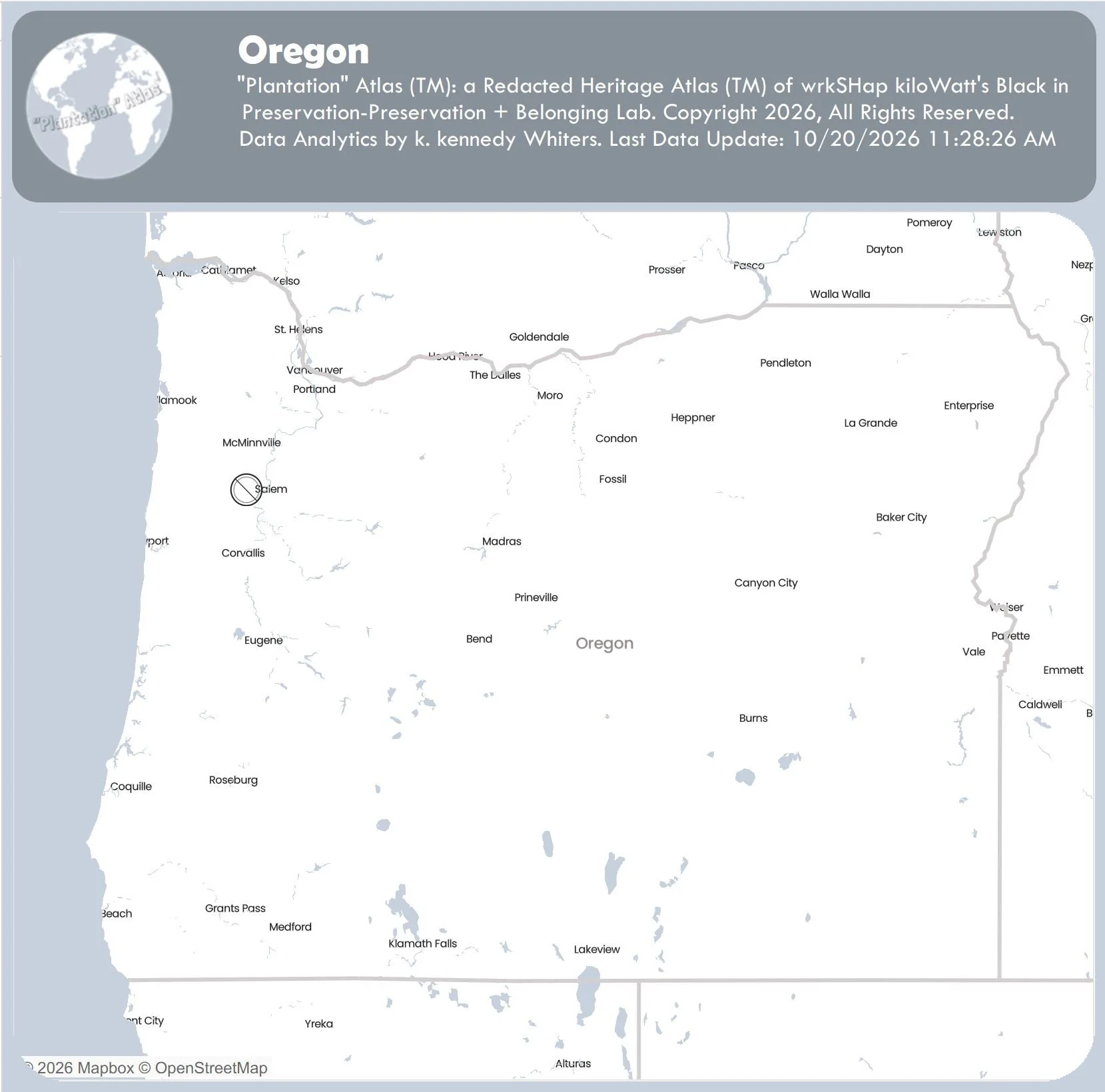
Oregon
October 20, 2026.
Incomplete.
Number of “Plantations” = 1
-
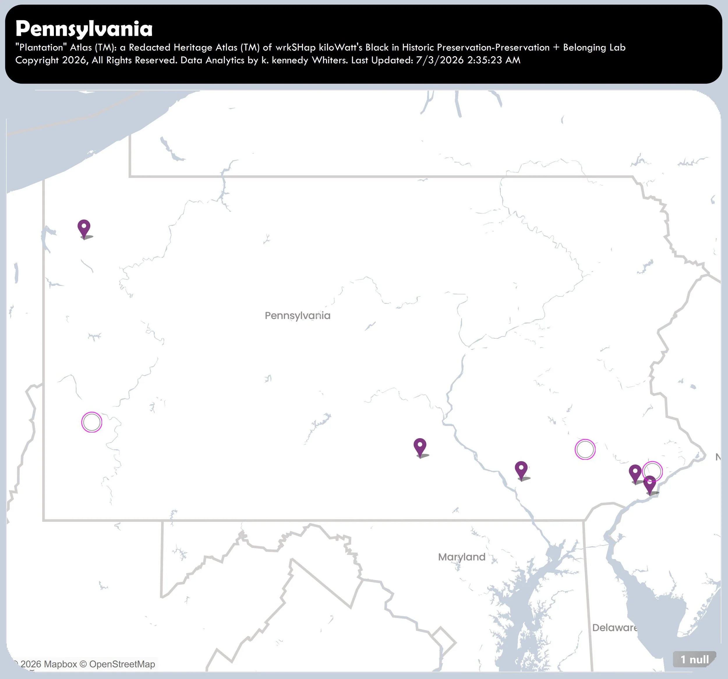
Pennsylvania
3July2026.
Incomplete.
Number of “Plantations” = 9
-
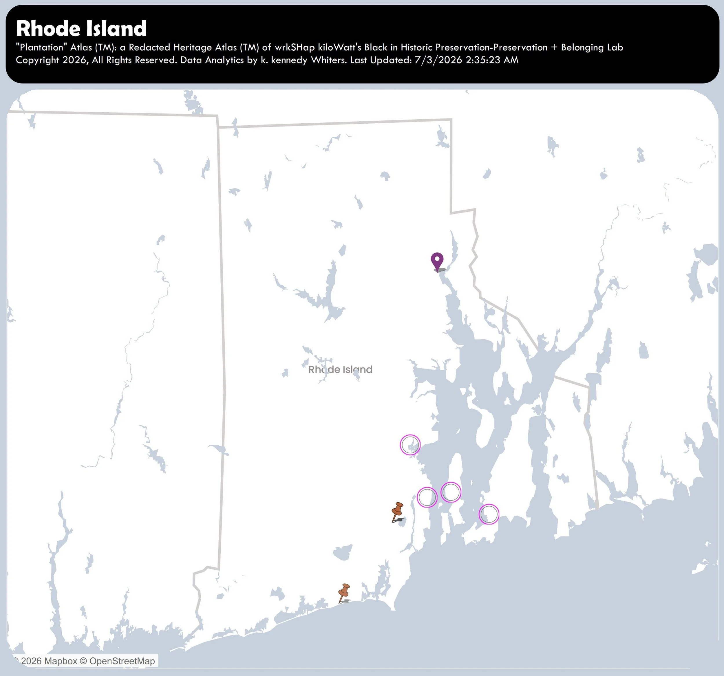
Rhode Island
3July2026.
Incomplete.
Number of “Plantations” = 8
-
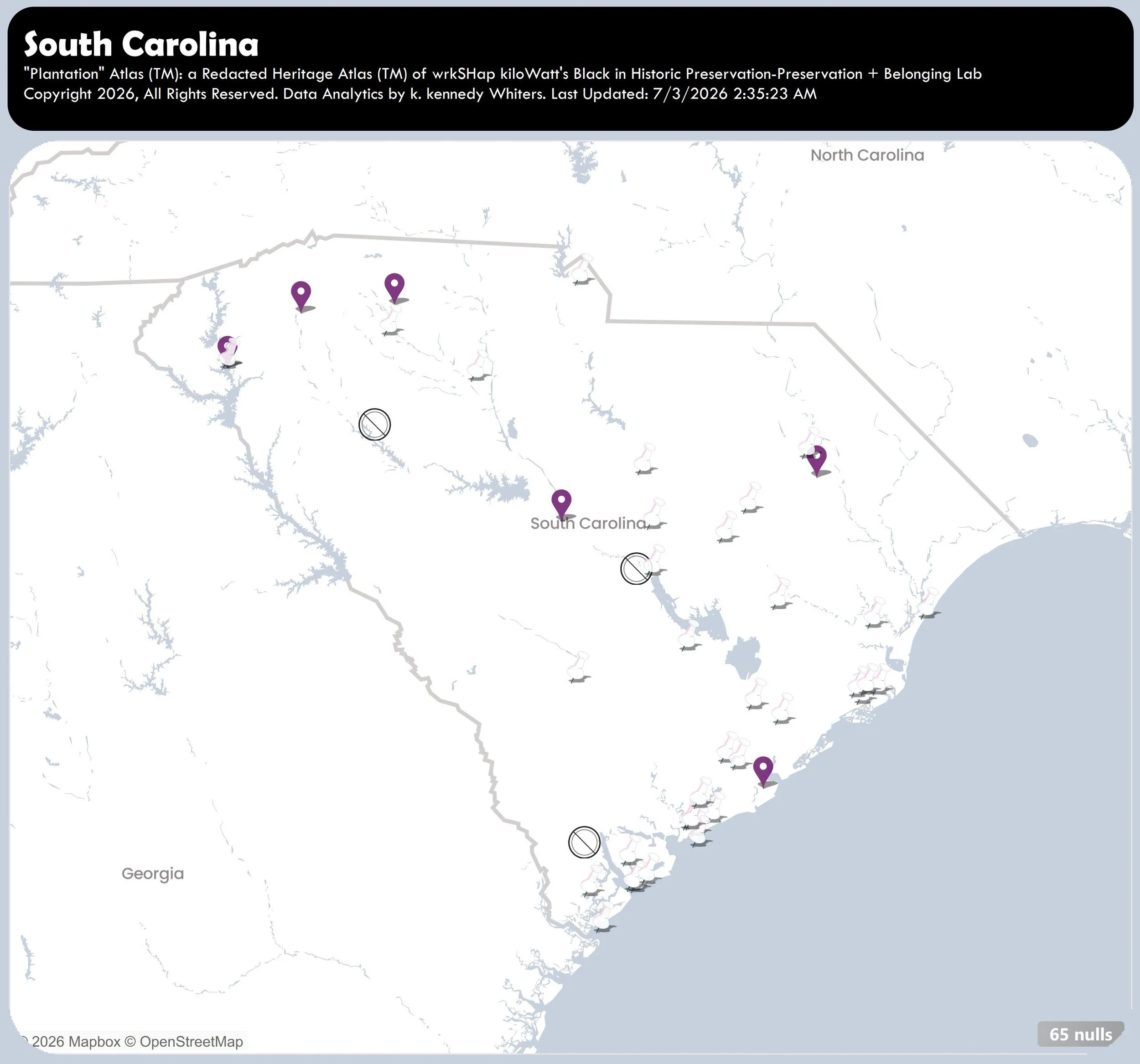
South Carolina
July 3, 2026.
Incomplete.
Number of “Plantations” = 109
-
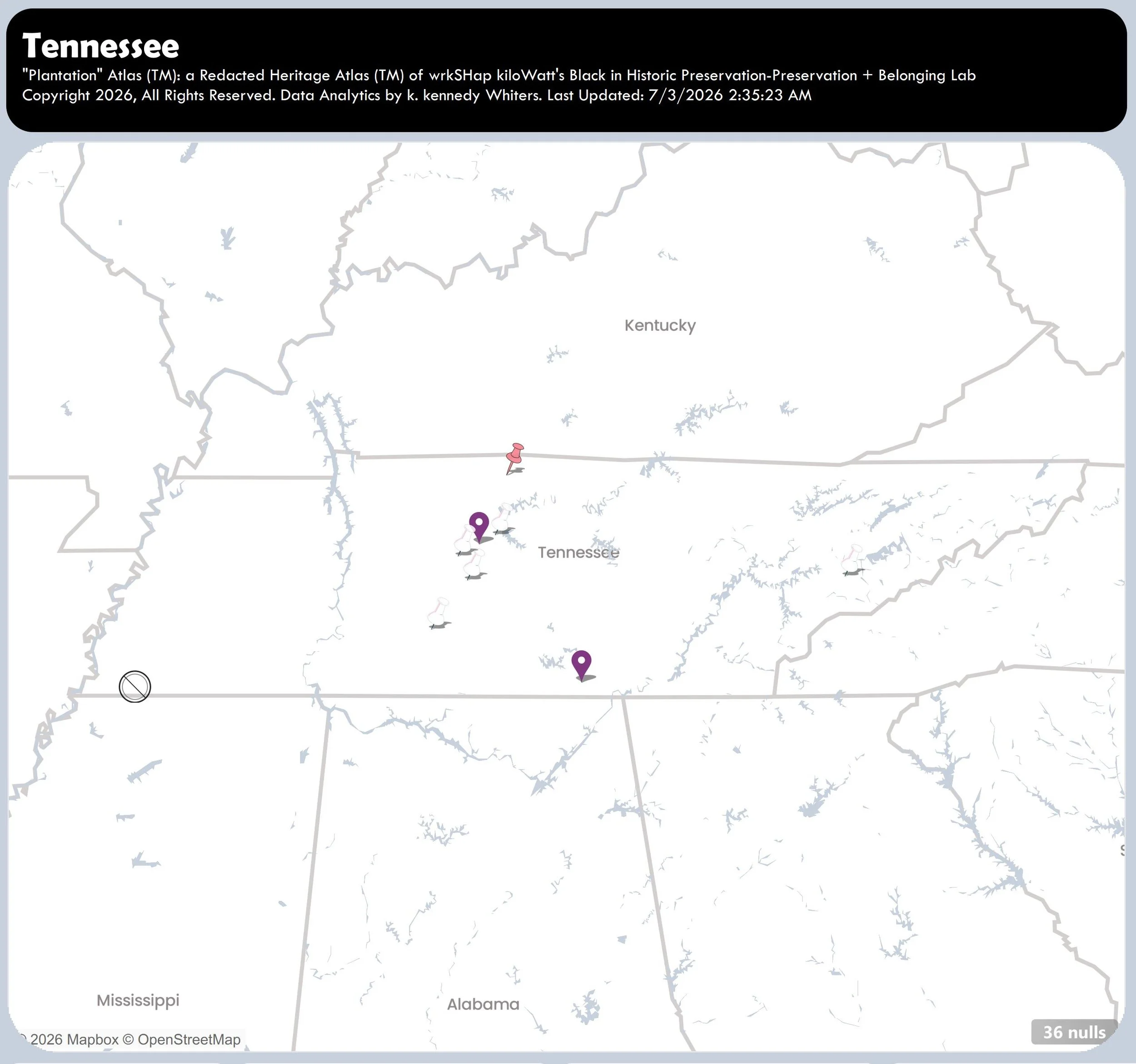
Tennesse
July 6, 2026.
Incomplete.
Number of “Plantations” = 45
-
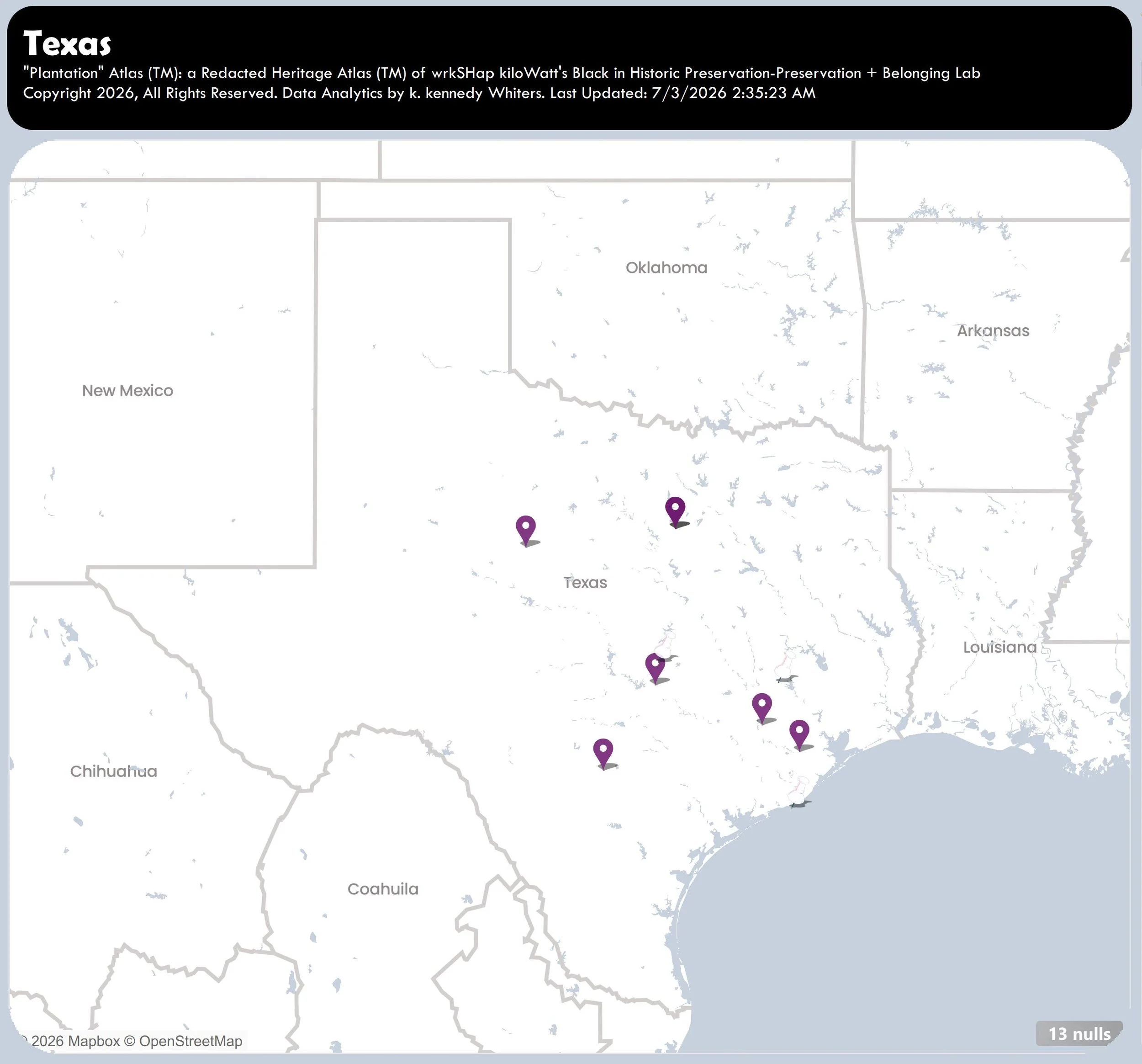
Texas
August 5, 2026.
Incomplete.
Number of “Plantations” = 24
-
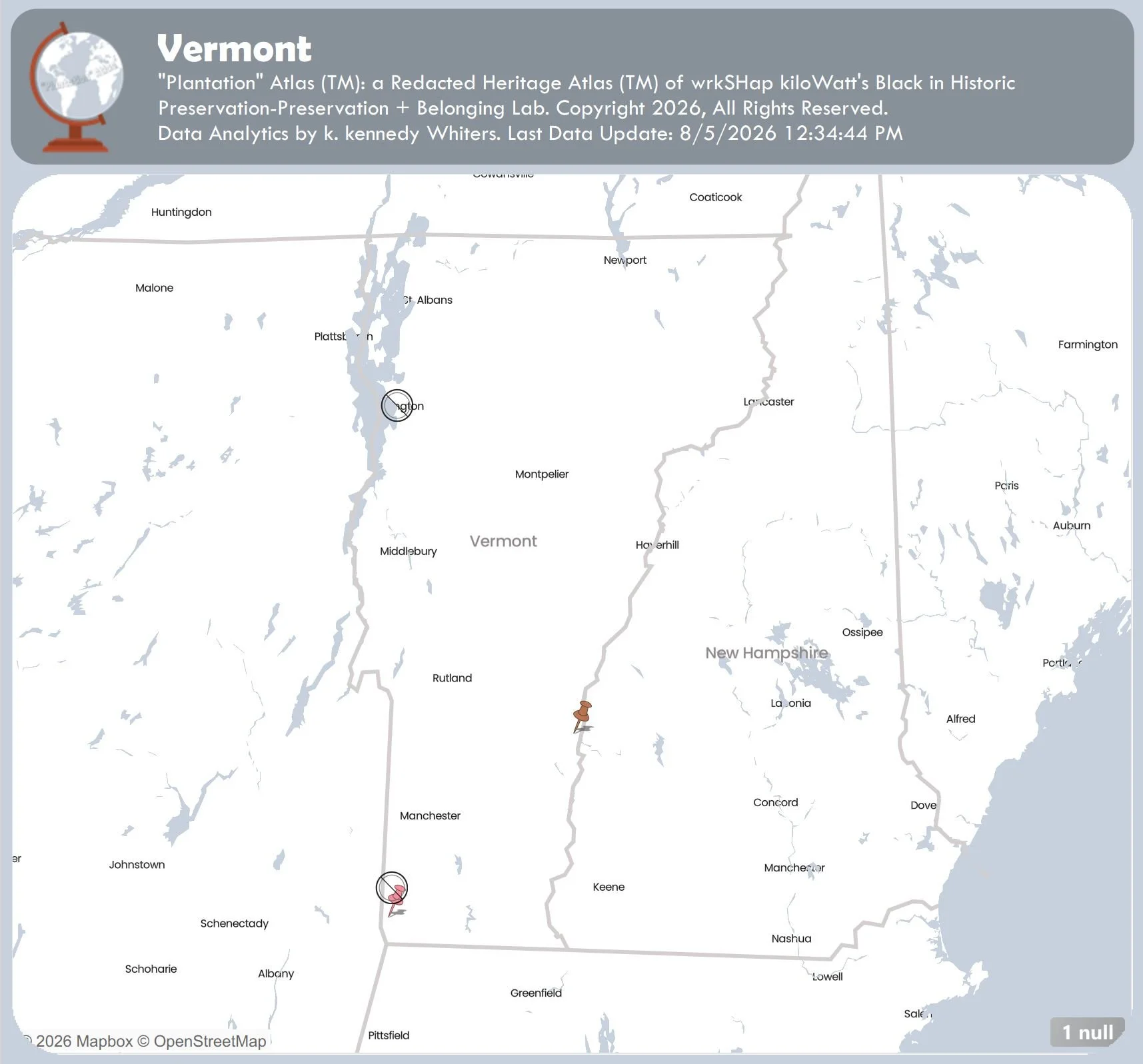
Vermont
August 5, 2026.
Incomplete.
Number of “Plantations” = 5
-
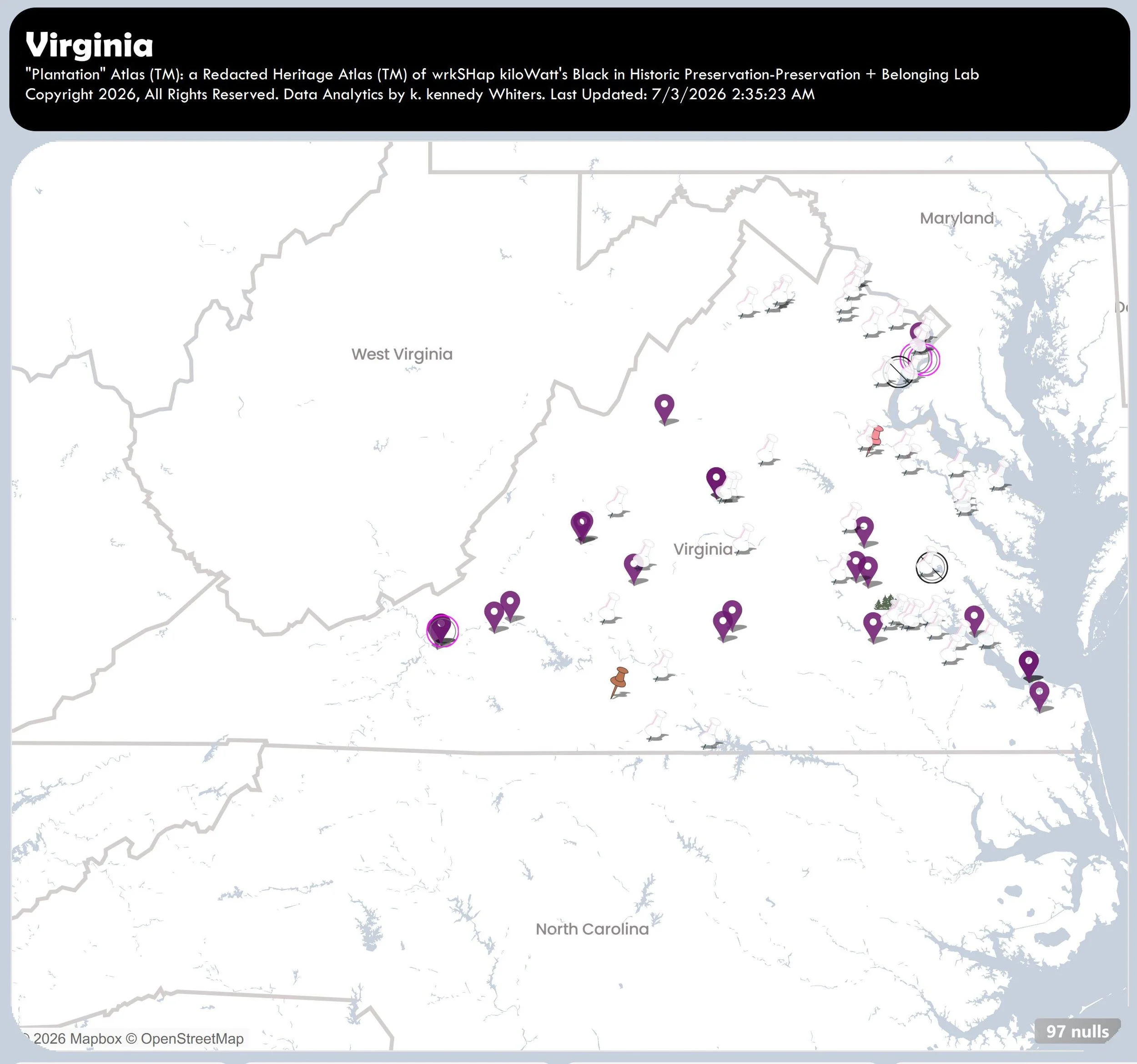
Virginia
August 5, 2026.
Incomplete.
Number of “Plantations” = 211
-
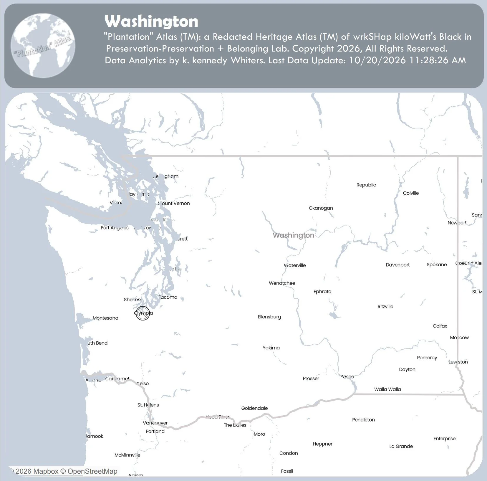
Washington
October 20, 2026.
Incomplete.
Number of “Plantations” = 1
-
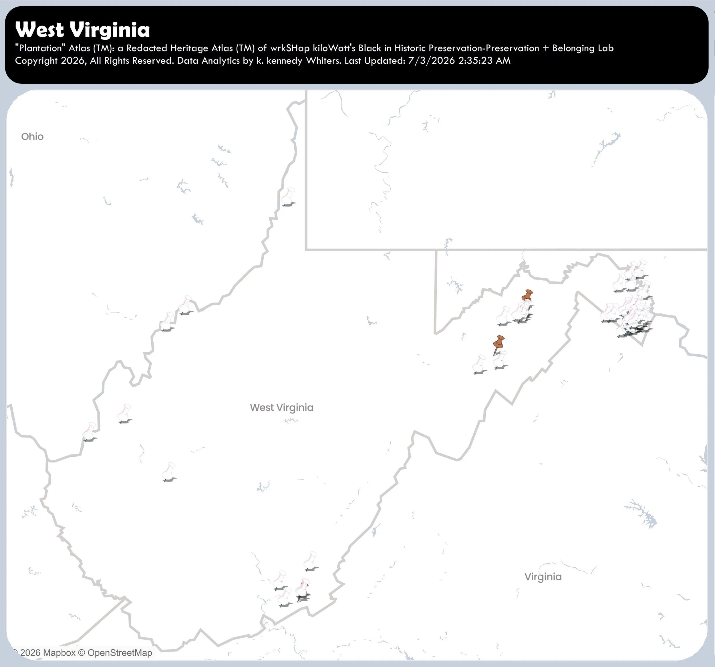
West Virginia
July 3, 2026.
Incomplete.
Number of “Plantations” = 58
-
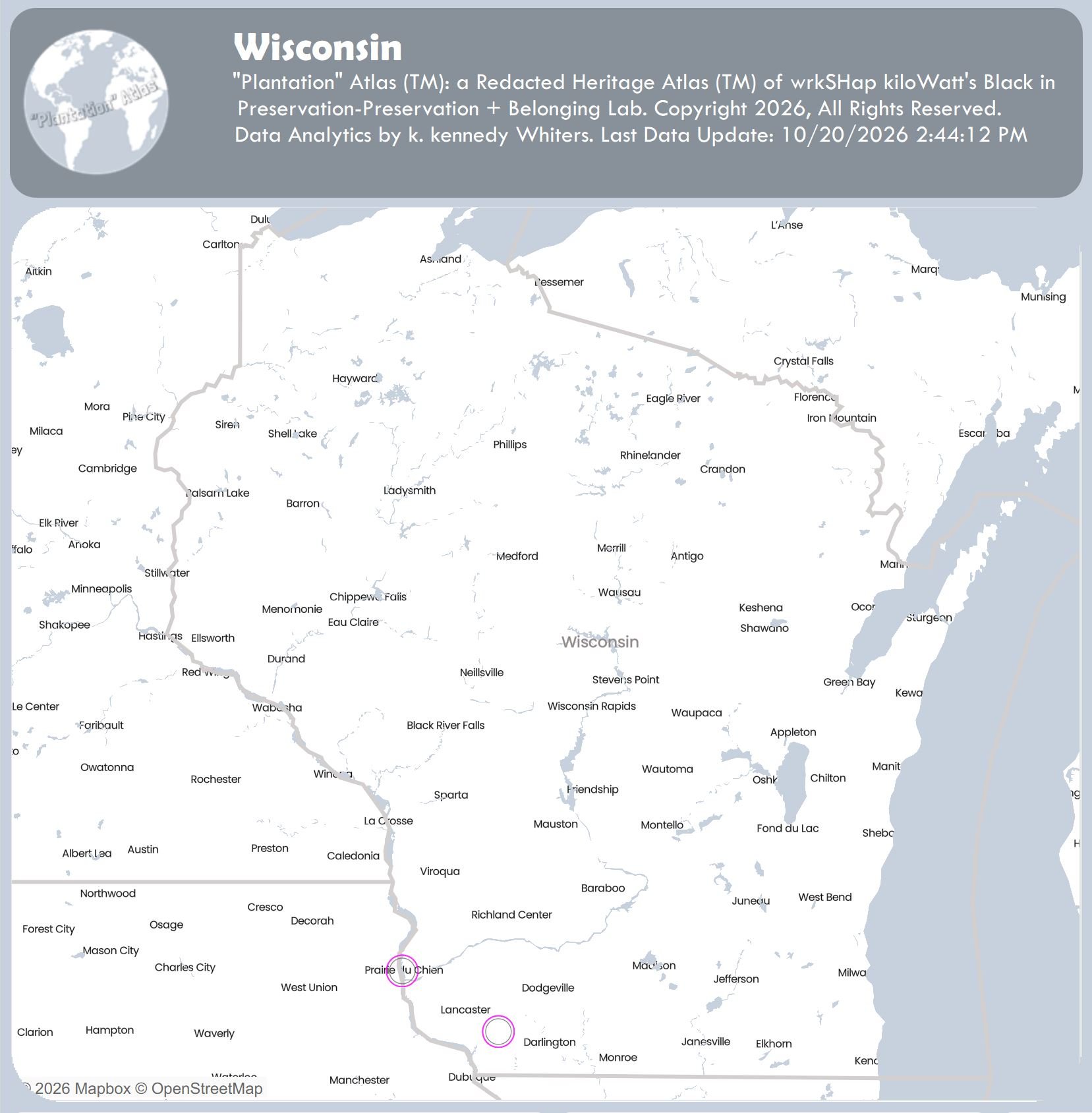
Wisconsin
October 20, 2026.
Incomplete.
Number of “Plantations” = 2
Why is the word “Plantation” in quotation marks?
The quotation marks acknowledge that “plantation” is not the best term to describe these historic heritage sites.
The quotation marks acknowledge that the word “plantation” is a euphemism, a type of redacted language, a stand-in for words that more appropriately describe the violent history that took place at these historic heritage sites: forced labor camps, and in some cases, forced death camps (see the sugar plantations).
“Plantation” Atlas
Menu
Social
Let’s stay connected
To receive updates about the atlas or to send suggestions and corrections, complete the form below. And, let us know how you are using the Atlas!
To Access the Atlas: Send us a message to receive access.
This research project is made possible by support from Black in Historic Preservation’s supporters. Consider joining them today by sponsoring the redacted heritage audit of your home state or of a state linked to your family’s history with a donation.
Thank you!