Methodology
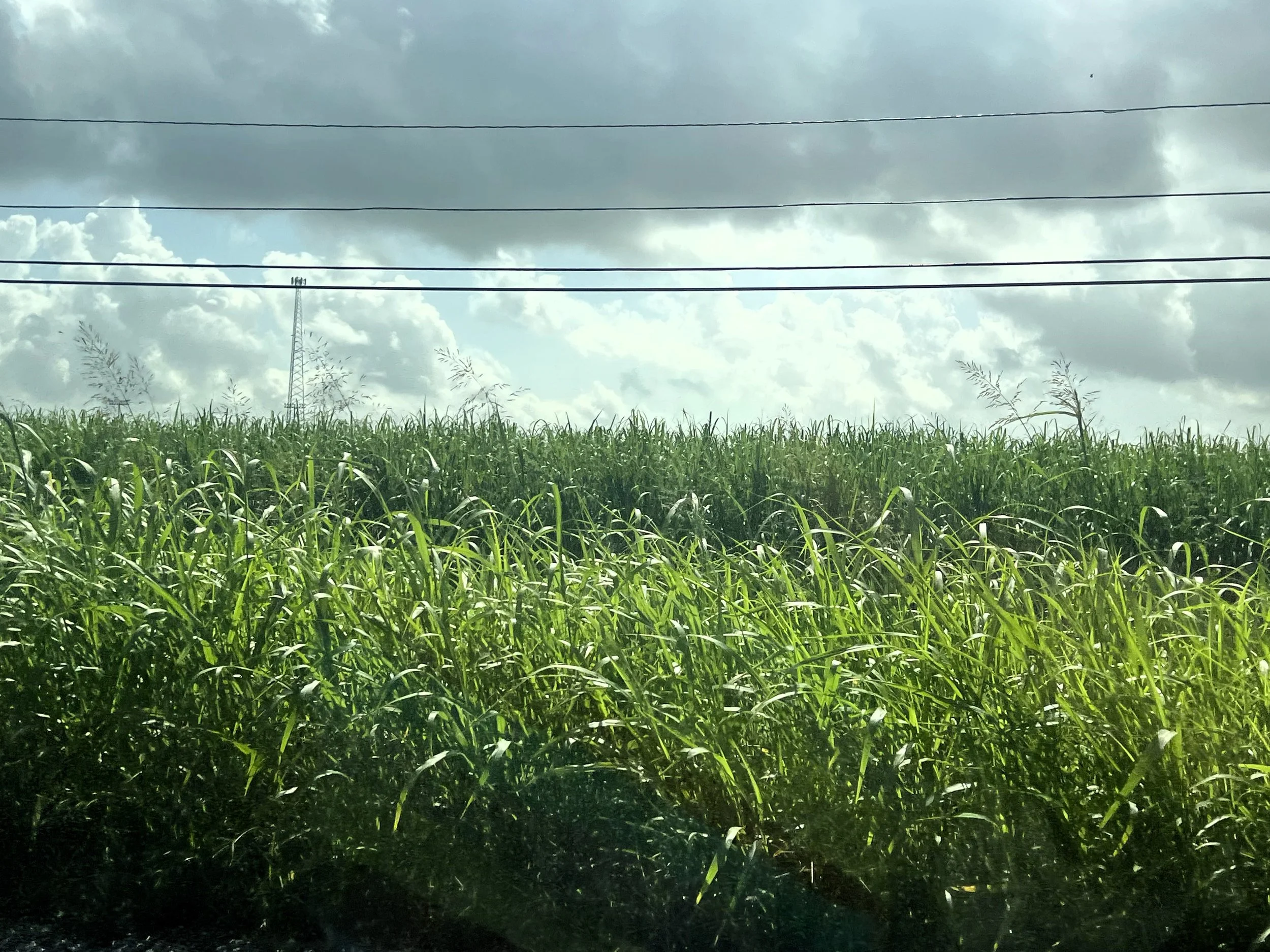
Image Source: Sugarcane Field. Edgard, Louisiana. k. kennedy Whiters, 2026.
/ˌmeTHəˈdäləjē/
“a body of methods, rules, and ideas that are important in a science, art, or discipline: a particular procedure or set of procedures” (Merriam-Webster.com, July 2026)
The core components of a methodology are: Rationale, Data Collection + Procedures, Analysis, and Constraints.
-
The goal of this methodology is the development of answers to research questions posed by (un)Redact the Facts about chattel enslavement interpretation at “plantations” such as:
1- Is White control of the interpretation of chattel enslavement in modern-day times true?
2- What is the prevalence of White control, i.e., the descendants of enslavers controlling the interpretation of chattel enslavement? Is there a higher concentration in Northern states versus Southern states?
3- Is there a correlation between White control of the interpretation of chattel enslavement and the interpretation with redacted grammar and language?
4- Is there a correlation between Black descendant engagement with the interpretation of chattel enslavement and the interpretation with redacted grammar and language? with (un)redacted grammar and language?
-
“Plantation” Atlas development is a reflection of the following methodology:
1- Identify former “plantations”, i.e., former forced labor camps
2- Add the former forced labor camps to a central database
3- Add key metrics to the database from the (un)Redact the Facts research, such as “Chattel Enslavement Interpretation” and “(un)Redacted Grammar + Language” (in the types of chattel enslavement interpretation methods, such as tours)
-
Chattel enslavement interpretation analyzed with the researched and continually evolving Tenets of (un)Redaction for redacted or (un)redacted grammar and language.
The data analyst/principal investigator reviewed the following for redacted grammar and language, (un)redacted grammar and language, and Black descendant engagement:
1- The National Register of Historic Places nomination form (for NR listed former forced labor camps)
2- The heritage site’s official website
Data analysis tools also include Google Sheets and Tableau.
-
Constraints include financial that might fund physical site visits. Therefore, majority of data collection about chattel enslavement interpretation includes visiting former forced labor camp official websites only.
Methodology Resources
-
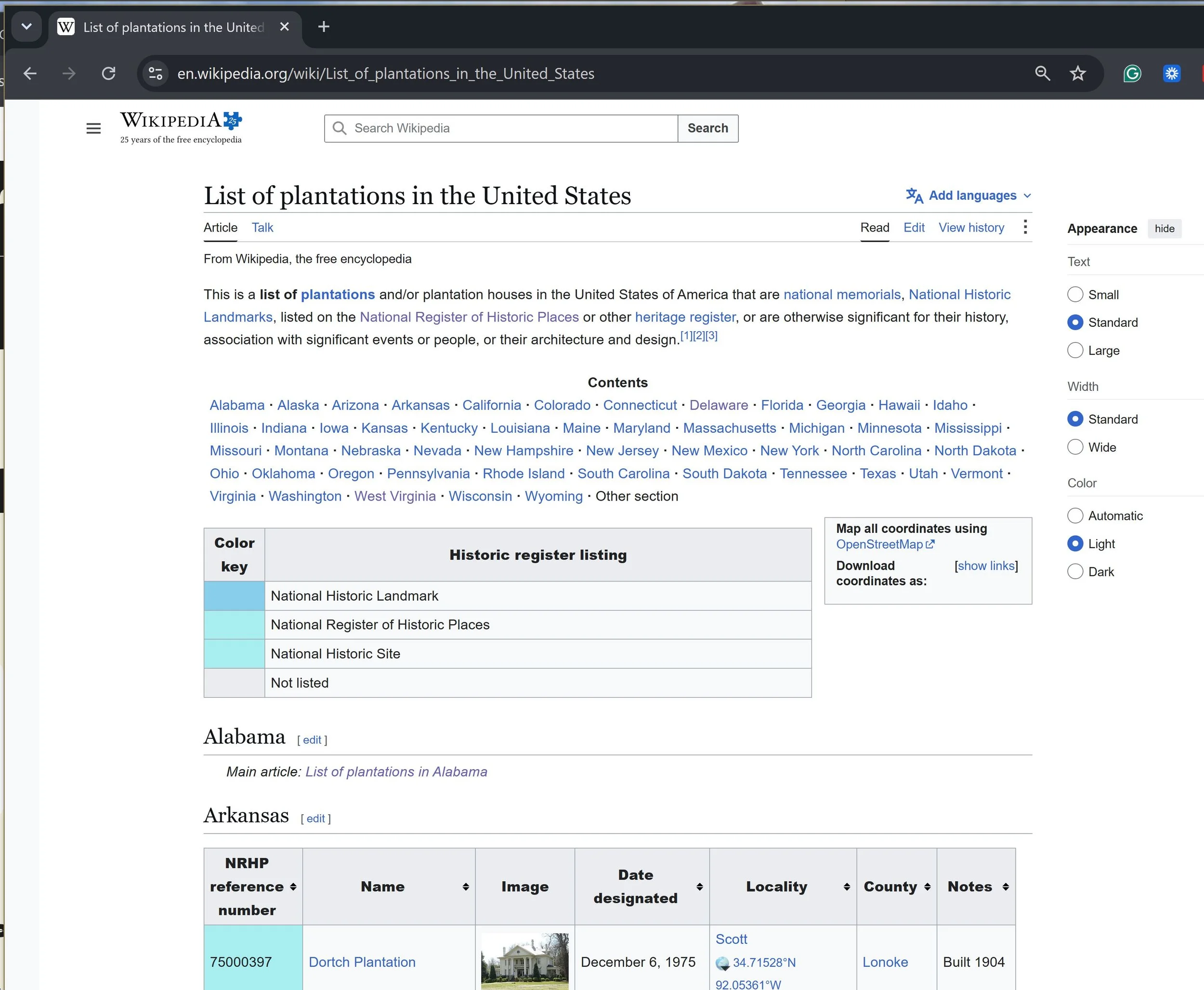
List of Plantations in the United States
List crowdsourced by Wikipedia editors. It includes information such as geolocations (latitude and longitude), National Register of Historic Places designations, the number of Africans/Black people the White owner of the camp enslaved, and what they, the enslaved Black people produced at the heritage site (crops, commodities, etc.). The Wikipedia website is step one in the data collection process, foundational to building the “Plantation” Atlas.
-

Internet Research
Data not available on the site's Wikipedia page and the resources cited on the Wikipedia page, the data analyst obtained from a thorough Internet search for well-resourced information, including the site’s official website. (Image Source: HL12 Studio via canva.com)
-
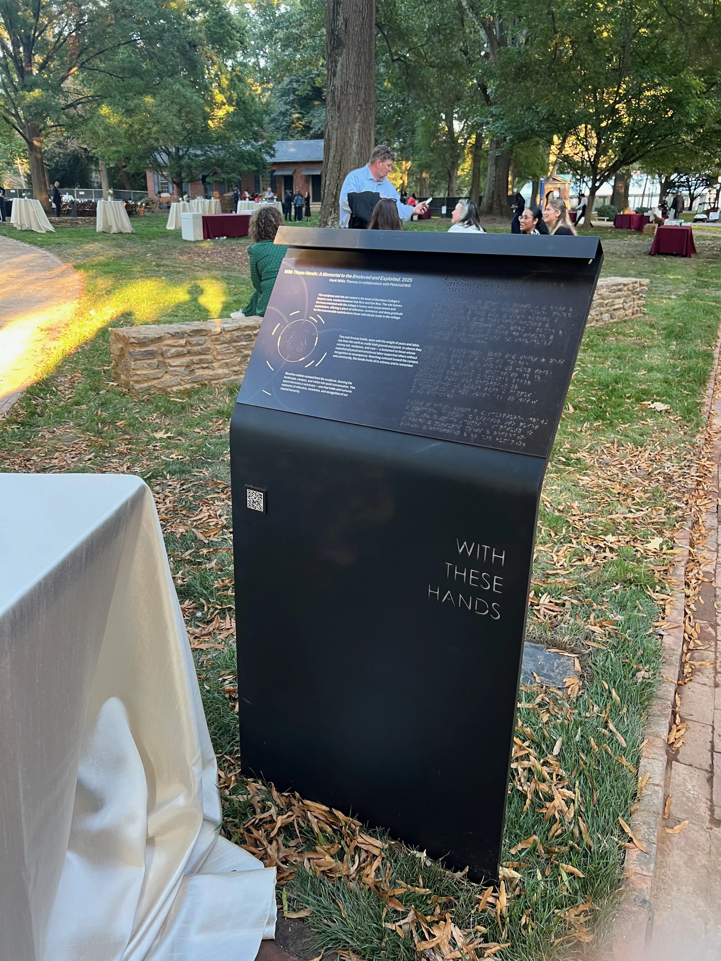
In-Person Site Visits
Data collection about if and how former forced labor camps interpret chattel enslavement in their interpretive signs, tours, and other history / heritage interpretation assets available to the general public at the heritage site. (Photo credit: k. kennedy Whiters at Davidson College’s opening of the Hank Willis Thomas-designed memorial “With These Hands: a Memorial to the Enslaved and Exploited,” October 2025)
-
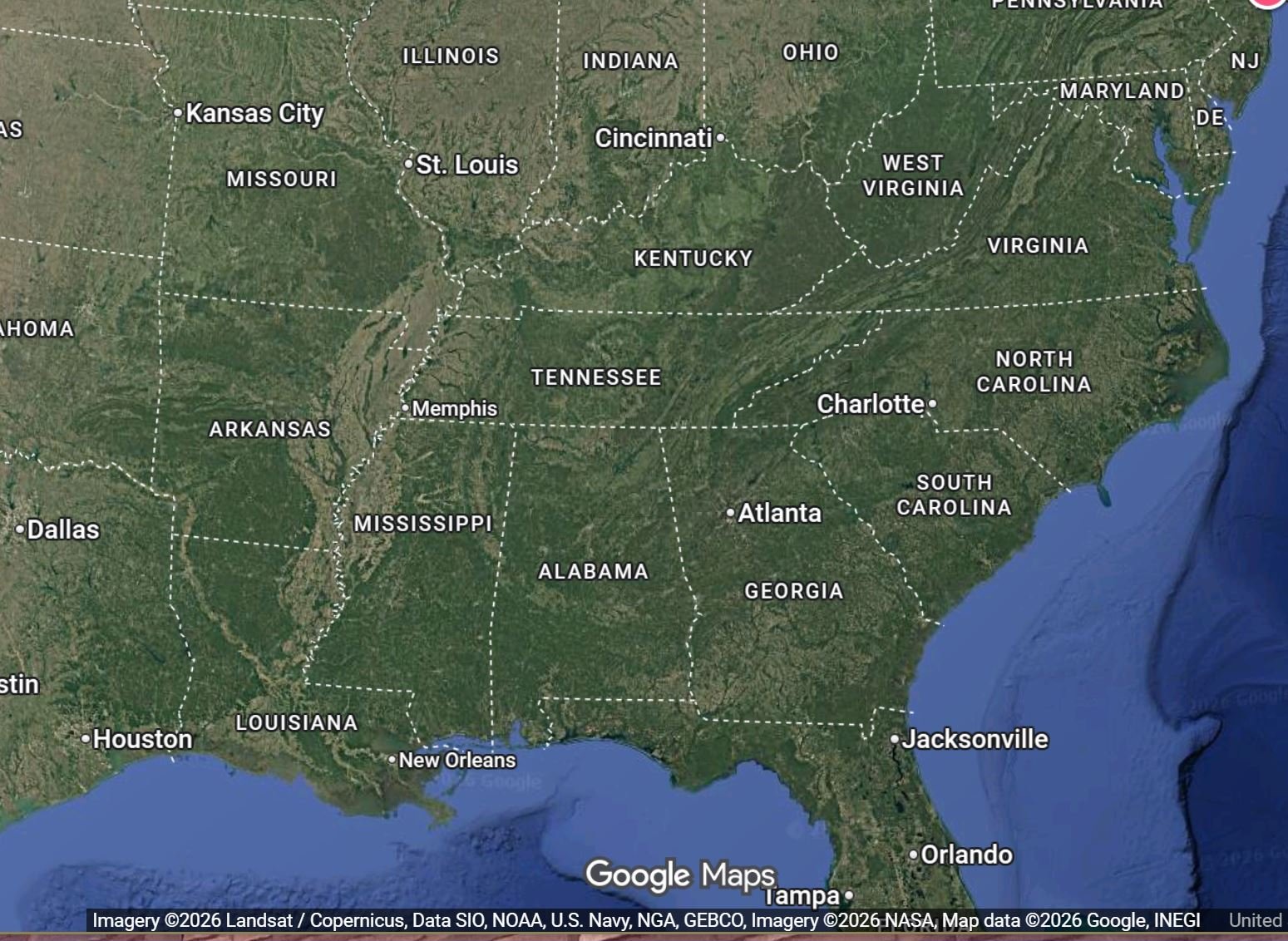
Google Maps
Geodata (latitude and longitude) not available for a former forced labor camp, the data analyst obtained the data from a search for the address on Google Maps. Or, when a specific address was not available, for example, for former corded labor camps absorbed into a city/town/suburb, the data analyst used the geodata for the respective municipality.
-
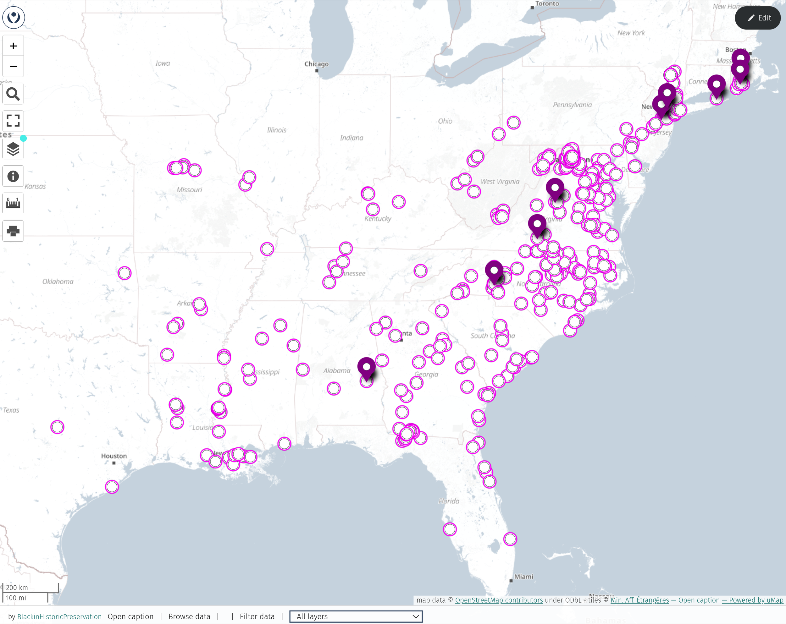
Geospatial Data Analysis Tool
A key component of the data analysis: finding an interactive tool to make beautiful maps! After evaluating multiple geodata analysis tools, including mapping data in UMap (as shown in the image above), this research project currently uses Tableau. Tableau allows for interactive data filtering between tables, maps, and charts.
-

Other Resources: Media + Interviews
Other data collection resources include films such as the 2026 PBS Independent Lens Documentary “Exposing the Myth of Southern Charm” (“Natchez”) and interviews with interpretive staff and volunteers.
Why is the word “Plantation” in quotation marks?
The quotation marks acknowledge that “plantation” is not the best term to describe these historic heritage sites.
The quotation marks acknowledge that the word “plantation” is a euphemism, a type of redacted language, a stand-in for words that more appropriately describe the violent history that took place at these historic heritage sites: forced labor camps, and in some cases, forced death camps (see the sugar plantations).
Thank you to our Sponsors


“Plantation” Atlas
Menu
Social
Let’s stay connected
To receive updates about the atlas or to send suggestions and corrections, complete the form below. And, let us know how you are using the Atlas!
To Access the Atlas: Send us a message to receive access.
This research project is made possible by support from Black in Historic Preservation’s supporters. Consider joining them today with a donation.
Thank you!